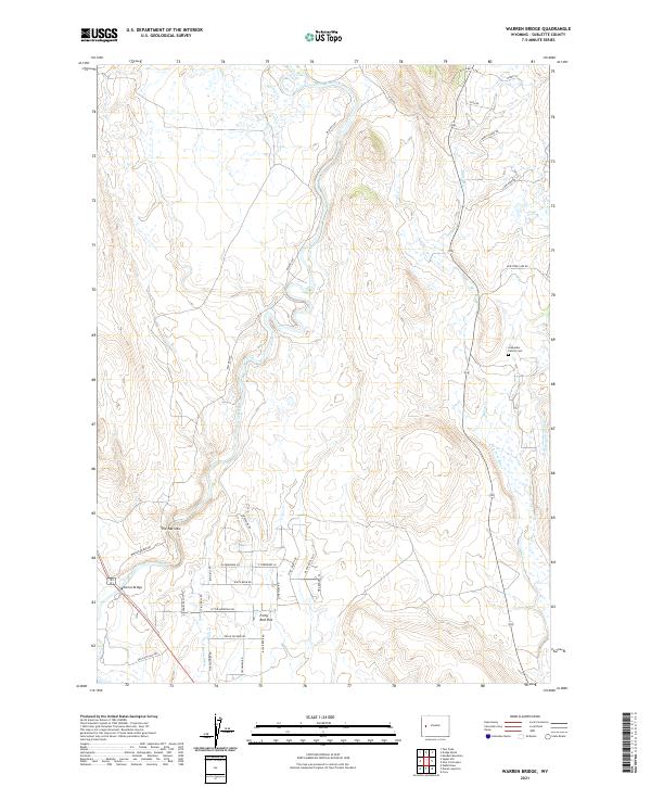
2021 Map of Warren Bridge
USGS Topo · Published 2021About this map
The Green River carves a winding path through this western Wyoming landscape, passing through the tight constriction of The Narrows before opening into the broad expanse of Forty Rod Flat. This 2021 survey shows a region defined by its water management and recent residential development patterns. Substantial irrigation infrastructure is evident through the Canyon Ditch and Pine Grove Ditch, which support the high-altitude ranching and agriculture of the Upper Green River Valley.
Find a feature on this map
40 named features on this map. Tap any name to fly to it.
Don’t see what you’re looking for? This feature index may not catch every label — zoom into the map to look around manually.
Map Details
Editions of this 2021 Warren Bridge Map
This is the sole edition of this map. No revisions or reprints were ever made.
Other maps of this area

1907 · Gros Ventre
USGS Topo · 1:125,000

1909 · Fremont Peak
USGS Topo · 1:125,000

1910 · Gros Ventre
USGS Topo · 1:125,000

1939 · Big Piney
USGS Topo · 1:125,000

1942 · Big Piney
USGS Topo · 1:125,000

1955 · Driggs
USGS Topo · 1:250,000

1955 · Preston
USGS Topo · 1:250,000

1955 · Thermopolis
USGS Topo · 1:250,000

1955 · Lander
USGS Topo · 1:250,000

1958 · Driggs
USGS Topo · 1:250,000