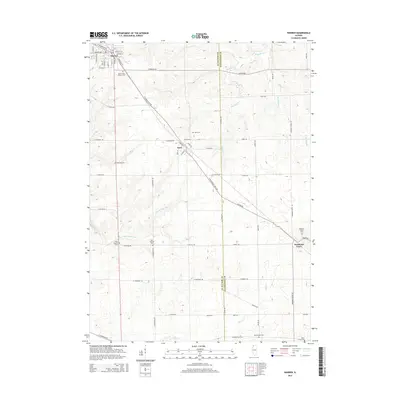
2015 Map of Warren
USGS Topo · Published 2015About this map
The village of Warren anchors this northern Illinois landscape, positioned where the terrain transitions toward the driftless area of Jo Daviess County. This survey highlights the agricultural and commemorative geography of the region, featuring a remarkable density of rural cemeteries including Saint Annies Catholic Cem, Oakwood Cem, and the divided West Chelsea Cem and East Chelsea Cem. These sites, along with the Nora Cem and Waddams Grove Cem, provide critical points of reference for genealogists tracing early families in the Warren and Nora townships. The natural drainage of the area is defined by the S Fork Apple River and its tributaries like Wolf Cr and Spafford Cr, while the historic transportation corridor of the N Stagecoach Trl cuts diagonally across the township, marking the old route from Chicago to Galena. Smaller settlements like Nora and Waddams Grove remain connected by a grid of named rural roads that have served these farming communities for generations.
Find a feature on this map
60 named features on this map. Tap any name to fly to it.
Don’t see what you’re looking for? This feature index may not catch every label — zoom into the map to look around manually.
Map Details
Editions of this 2015 Warren Map
This is the sole edition of this map. No revisions or reprints were ever made.
Other maps of this area

1902 · Mineral Point
USGS Topo · 1:125,000

1911 · Elizabeth
USGS Topo · 1:62,500

1923 · South Wayne
USGS Topo · 1:62,500

1936 · Elizabeth
USGS Topo · 1:62,500

1937 · Lena
USGS Topo · 1:48,000

1942 · Lena
USGS Topo · 1:62,500

1943 · Lena
USGS Topo · 1:62,500

1954 · Rockford
USGS Topo · 1:250,000

1955 · Rockford
USGS Topo · 1:250,000

1958 · Rockford
USGS Topo · 1:250,000