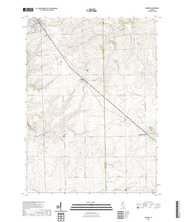
2024 Map of Warren
USGS Topo · Published 2024About this map
Warren serves as a primary hub in this corner of Northwest Illinois, where a grid of streets including W Main St and Galena Ave meets the rail corridor. The landscape is defined by the winding course of the South Fork Apple River and Spafford Creek, which cut through the agricultural uplands of Jo Daviess and Stephenson counties. The transition between these counties is marked clearly by N Co Divide Rd, reflecting the rigid rectangular survey system that organized the region's farms and roads.
Find a feature on this map
63 named features on this map. Tap any name to fly to it.
Don’t see what you’re looking for? This feature index may not catch every label — zoom into the map to look around manually.
Map Details
Editions of this 2024 Warren Map
This is the sole edition of this map. No revisions or reprints were ever made.
Other maps of this area

1902 · Mineral Point
USGS Topo · 1:125,000

1911 · Elizabeth
USGS Topo · 1:62,500

1923 · South Wayne
USGS Topo · 1:62,500

1936 · Elizabeth
USGS Topo · 1:62,500

1937 · Lena
USGS Topo · 1:48,000

1942 · Lena
USGS Topo · 1:62,500

1943 · Lena
USGS Topo · 1:62,500

1954 · Rockford
USGS Topo · 1:250,000

1955 · Rockford
USGS Topo · 1:250,000

1958 · Rockford
USGS Topo · 1:250,000