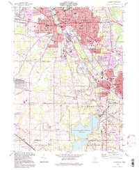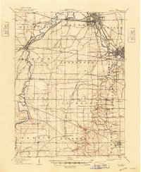
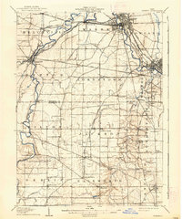
1908 Map of Warren
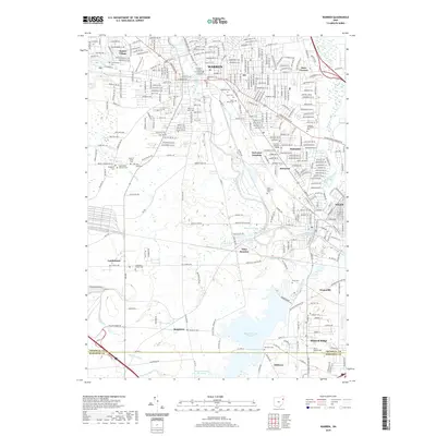
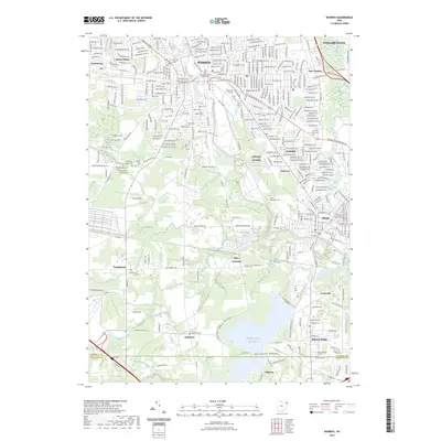
USGS Topo · Published 1948About this map
The Mahoning River meanders through this industrial and agricultural landscape of Northeast Ohio, serving as the backbone for heavy development in Warren and Niles. This 1906 survey captures the dense network of rail lines that fueled the region's growth, including various branches of the Erie RR, the Baltimore and Ohio RR, and the Pennsylvania System. While the northeastern corner shows the urban expansion of Trumbull County, the southern half reveals a more rural Mahoning County, dotted with community landmarks like Berlin Center and Ellsworth.
Find a feature on this map
68 named features on this map. Tap any name to fly to it.
Don’t see what you’re looking for? This feature index may not catch every label — zoom into the map to look around manually.
Map Details
Editions of this 1908 Warren Map
2 editions found
Historical Maps of Warren Through Time
8 maps found