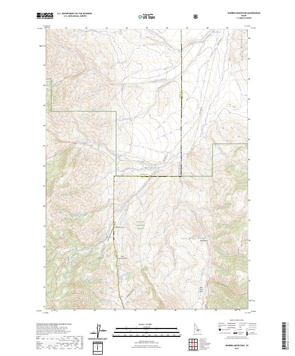
2023 Map of Warren Mountain
USGS Topo · Published 2023About this map
Challis National Forest dominates this high-elevation landscape, where the jagged crests of the Lost River Range and Hawley Mountains frame a complex drainage network. The area is defined by its deep canyons and named basins, including the Little Basin and the expansive Wet Creek Basin. Indigenous presence and historical passage are reflected in place names such as Baiya-Naokwaide and Baiya-Paaletsapai'i.
Find a feature on this map
36 named features on this map. Tap any name to fly to it.
Don’t see what you’re looking for? This feature index may not catch every label — zoom into the map to look around manually.
Map Details
Editions of this 2023 Warren Mountain Map
2 editions found
Other maps of this area

1935 · MacKay
USGS Topo · 1:96,000

1935 · Borah Peak
USGS Topo · 1:125,000

1938 · Borah Peak
USGS Topo · 1:125,000

1940 · Mackay
USGS Topo · 1:62,500

1955 · Dubois
USGS Topo · 1:250,000

1955 · Idaho Falls
USGS Topo · 1:250,000

1957 · Hawley Mountain
USGS Topo · 1:62,500

1958 · Dubois
USGS Topo · 1:250,000

1958 · Idaho Falls
USGS Topo · 1:250,000

1960 · Mackay
USGS Topo · 1:62,500