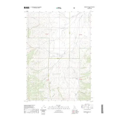
2023 Map of Warren Mountain
USGS Topo · Published 2023About this map
Challis National Forest defines the rugged geography of this high-elevation Idaho landscape, where the Hawley Mountains and the Lost River Range converge. The terrain is a complex network of deep drainages and high ridges, anchored by Warren Mtn and the prominent Pass Creek Summit. This area is shaped by the movement of water and wilderness travel, centered on the headwaters of Wet Creek and its broad Wet Creek Basin. A historic system of trails, including the Massacre Creek Trl and the Big Creek-Massacre Trl, provides evidence of early mountain transit through isolated corridors like Larkspur Canyon and Black Tail Canyon. The map reveals a land utilized for its natural resources and passage, where named creeks such as Wagon Box Creek and Baiya-Naokwaide cut through the timbered slopes of Custer and Butte counties.
Find a feature on this map
31 named features on this map. Tap any name to fly to it.
Don’t see what you’re looking for? This feature index may not catch every label — zoom into the map to look around manually.
Map Details
Editions of this 2023 Warren Mountain Map
2 editions found
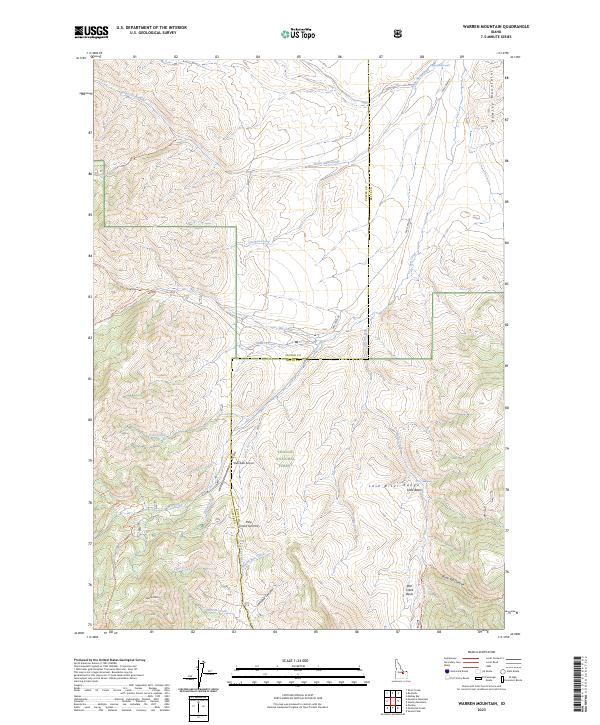
Other maps of this area

1935 · MacKay
USGS Topo · 1:96,000

1935 · Borah Peak
USGS Topo · 1:125,000

1938 · Borah Peak
USGS Topo · 1:125,000

1940 · Mackay
USGS Topo · 1:62,500

1955 · Dubois
USGS Topo · 1:250,000

1955 · Idaho Falls
USGS Topo · 1:250,000

1957 · Hawley Mountain
USGS Topo · 1:62,500

1958 · Dubois
USGS Topo · 1:250,000

1958 · Idaho Falls
USGS Topo · 1:250,000

1960 · Mackay
USGS Topo · 1:62,500