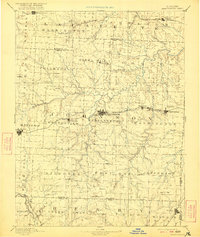
1894 Map of Warrensburg
USGS Topo · Published 1921About this map
The Warrensburg region of western Missouri is captured here in the late 19th century, serving as a vital crossroads between Lafayette, Johnson, and Henry counties. The landscape is defined by the winding course of the Blackwater River and its numerous tributaries, such as Post Oak Creek and Mineral Creek. Significant for local historians, the map shows the Normal school in Warrensburg, an early anchor for higher education in the area.
Find a feature on this map
71 named features on this map. Tap any name to fly to it.
Don’t see what you’re looking for? This feature index may not catch every label — zoom into the map to look around manually.
Map Details
Editions of this 1894 Warrensburg Map
5 editions found

Other maps of this area

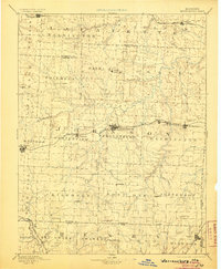
1885 · Warrensburg
USGS Topo · 1:125,000

1887 · Clinton
USGS Topo · 1:125,000

1887 · Harrisonville
USGS Topo · 1:125,000

1887 · Sedalia
USGS Topo · 1:125,000

1887 · Warsaw
USGS Topo · 1:125,000

1887 · Butler
USGS Topo · 1:125,000

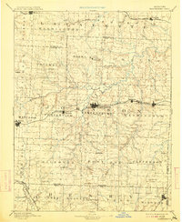
1887 · Warrensburg
USGS Topo · 1:125,000

1889 · Lexington
USGS Topo · 1:125,000

1890 · Marshall
USGS Topo · 1:125,000

1892 · Marshall
USGS Topo · 1:125,000