
1894 Map of Warrensburg
USGS Topo · Published 1894About this map
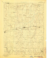
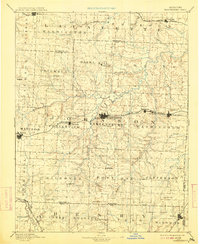
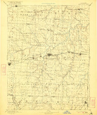
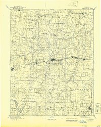
Warrensburg and its surrounding townships define this late 19th-century landscape, appearing as a vital hub along the Pacific Railroad. The map reveals the intricate drainage system feeding into the Blackwater River, which meanders through the central portion of the sheet. To the east, the settlement of Montserrat and the mining point of Carbon Hill signal the industrial activity of the era, while smaller outposts like Iron Spring and Cornelia dot the rural interior. In the southern reaches, the Kansas City and Southern Railroad passes through Blair, providing a second vital transport corridor. The terrain is divided into a patchwork of historical townships such as Hazel Hill, Chilhowee, and Post Oak, reflecting the established civic structure before the turn of the century. Notable landmarks like Shawnee Mound and numerous creek systems including Post Oak Creek and Clear Creek provide essential reference points for genealogists and local historians.
Find a feature on this map
57 named features on this map. Tap any name to fly to it.
Don’t see what you’re looking for? This feature index may not catch every label — zoom into the map to look around manually.
Map Details
Editions of this 1894 Warrensburg Map
5 editions found
Other maps of this area

1885 · Warrensburg
USGS Topo · 1:125,000

1887 · Clinton
USGS Topo · 1:125,000

1887 · Harrisonville
USGS Topo · 1:125,000

1887 · Sedalia
USGS Topo · 1:125,000

1887 · Warsaw
USGS Topo · 1:125,000

1887 · Butler
USGS Topo · 1:125,000

1887 · Warrensburg
USGS Topo · 1:125,000

1889 · Lexington
USGS Topo · 1:125,000

1890 · Marshall
USGS Topo · 1:125,000

1892 · Marshall
USGS Topo · 1:125,000