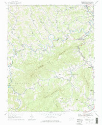
1966 Map of Warrensville
USGS Topo · Published 1978About this map
North Fork New River meanders through a landscape defined by the high ridges of Three Top Mountain and Bluff Mountain in this mid-1960s study. The settlement pattern follows the narrow valley floors, where the Norfolk and Western railroad tracks parallel the water, connecting communities like Warrensville, Bina, and Lansing. Local life is anchored by numerous small country churches and schools, such as Ashley Chapel, North Fork Ch, and Riverview Sch. Near Smethport, the presence of a State Prison and a Gravel Pit indicates the industrial and institutional facets of the local economy. The mapping even captures fine details of the rural landscape, including field lines and fences identified from aerial photography, offering a precise look at mid-century land use in Ashe County.
Find a feature on this map
54 named features on this map. Tap any name to fly to it.
Don’t see what you’re looking for? This feature index may not catch every label — zoom into the map to look around manually.
Map Details
Editions of this 1966 Warrensville Map
3 editions found
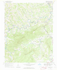
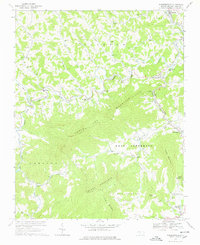
Other maps of this area

1889 · Wytheville
USGS Topo · 1:125,000

1889 · Wilkesboro
USGS Topo · 1:125,000

1891 · Abingdon
USGS Topo · 1:125,000

1891 · Wilkesboro
USGS Topo · 1:125,000

1892 · Wytheville
USGS Topo · 1:125,000

1893 · Cranberry
USGS Topo · 1:125,000

1894 · Abingdon
USGS Topo · 1:125,000

1895 · Cranberry
USGS Topo · 1:125,000

1899 · Cranberry
USGS Topo · 1:125,000

1902 · Cranberry
USGS Topo · 1:125,000