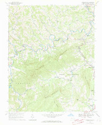
1966 Map of Warrensville
USGS Topo · Published 1969About this map
Warrensville and the surrounding Ashe County highlands are defined here by the winding course of the North Fork New River and the steep elevation of Three Top Mountain. In the mid-1960s, this region maintained a landscape of small, valley-bottom settlements connected by the Norfolk and Western Railway, which traces the river through Lansing and Bina. The map reveals a dense network of mountain life, with numerous rural congregations like Ashley Chapel and North Fork Ch serving the upland communities.
Find a feature on this map
54 named features on this map. Tap any name to fly to it.
Don’t see what you’re looking for? This feature index may not catch every label — zoom into the map to look around manually.
Map Details
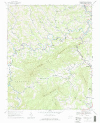
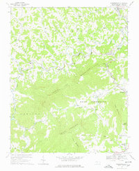
Editions of this 1966 Warrensville Map
3 editions found
Other maps of this area

1889 · Wytheville
USGS Topo · 1:125,000

1889 · Wilkesboro
USGS Topo · 1:125,000

1891 · Abingdon
USGS Topo · 1:125,000

1891 · Wilkesboro
USGS Topo · 1:125,000

1892 · Wytheville
USGS Topo · 1:125,000

1893 · Cranberry
USGS Topo · 1:125,000

1894 · Abingdon
USGS Topo · 1:125,000

1895 · Cranberry
USGS Topo · 1:125,000

1899 · Cranberry
USGS Topo · 1:125,000

1902 · Cranberry
USGS Topo · 1:125,000