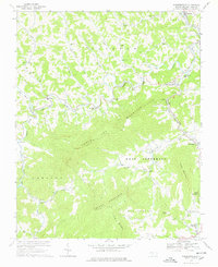
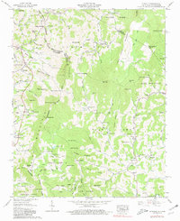
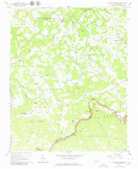
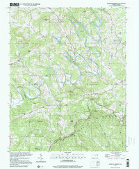
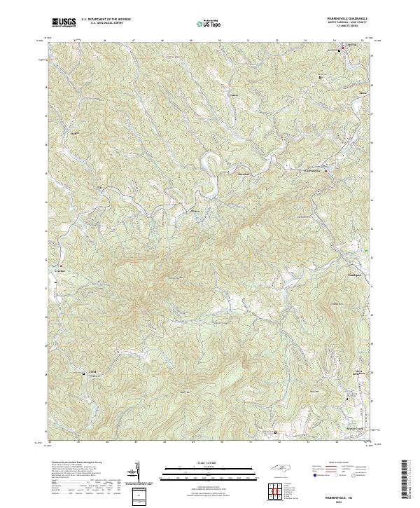
1966 Map of Warrensville
USGS Topo · Published 1978About this map
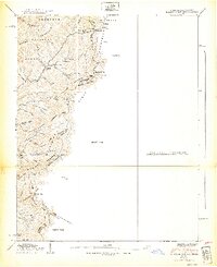
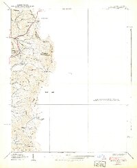
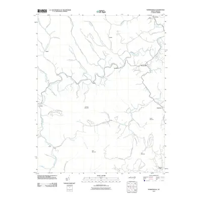
The New River North Fork carves a winding path through this corner of Ashe County, where the Norfolk and Western railway follows the riverbank past settlements like Lansing and Bina. The landscape is defined by the high ridges of Three Top Mountain and Bluff Mountain, sheltering numerous small farming communities and family churches. Significant local institutions are documented throughout the valley, from Northwest High Sch near Warrensville to a State Prison situated south of Smethport. Genealogists will find a high density of rural landmarks, including Ashley Chapel, Rich Hill Ch, and the Riverview Sch near Clifton. The map captures a moment when traditional mountain life, centered on places like Creston and Trout, remained firmly rooted in the terrain of Elk Ridge and Old Fields.
Find a feature on this map
58 named features on this map. Tap any name to fly to it.
Don’t see what you’re looking for? This feature index may not catch every label — zoom into the map to look around manually.
Map Details
Editions of this 1966 Warrensville Map
3 editions found
Historical Maps of West Jefferson Through Time
59 maps found

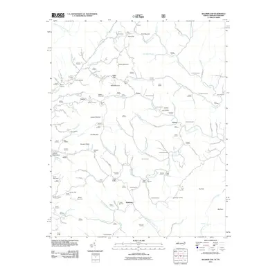
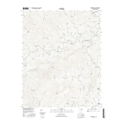
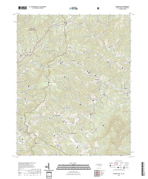
1935 Baldwin Gap
Ashe County, NC

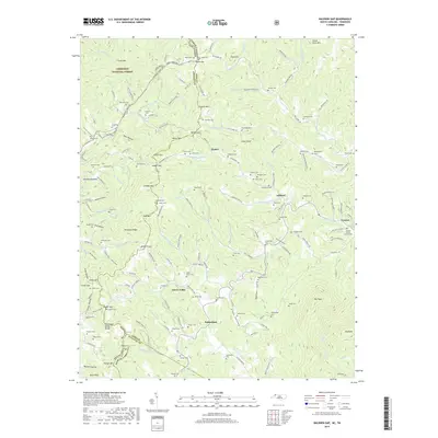
1935 Park
Ashe County, NC

1935 Zionville
Ashe County, NC
1938 Baldwin Gap
Ashe County, NC
1939 Baldwin Gap
Ashe County, NC
1939 Zionville
Ashe County, NC
1959 Baldwin Gap
Ashe County, NC
1959 Park
Ashe County, NC
1959 Zionville
Ashe County, NC
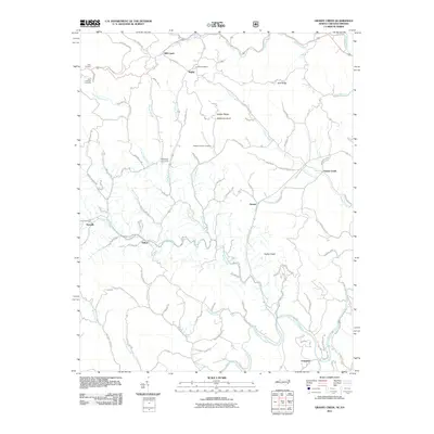
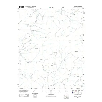
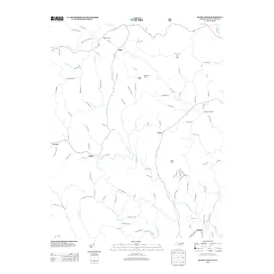
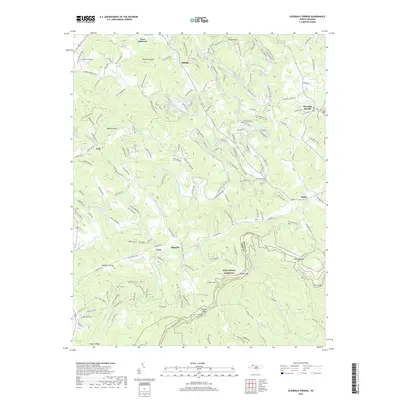
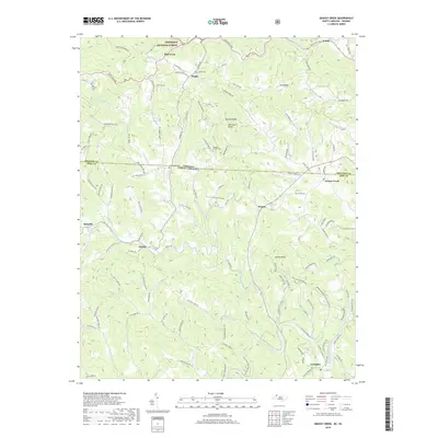
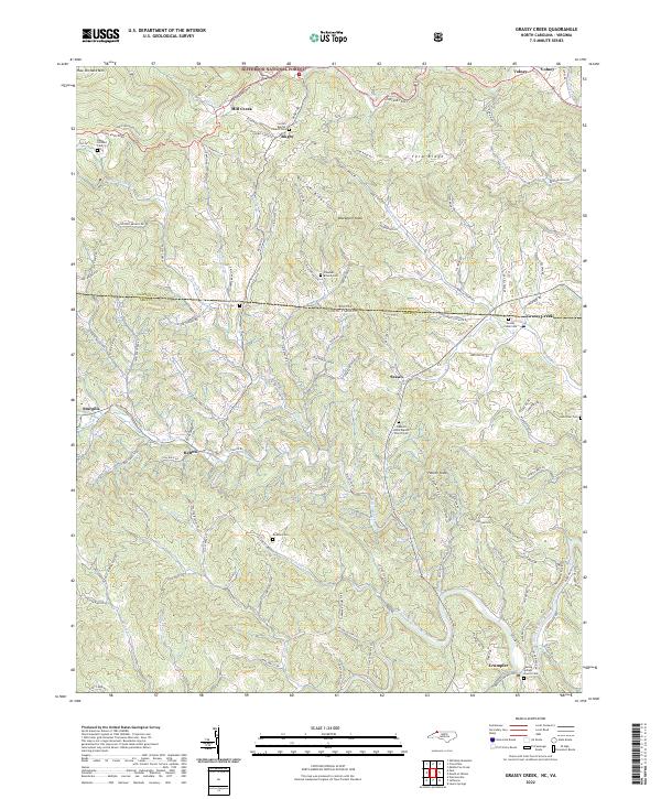
1966 Grassy Creek
Ashe County, NC
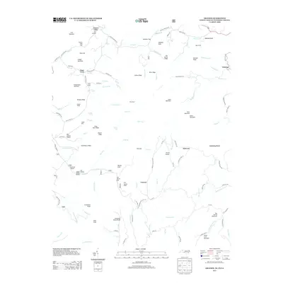
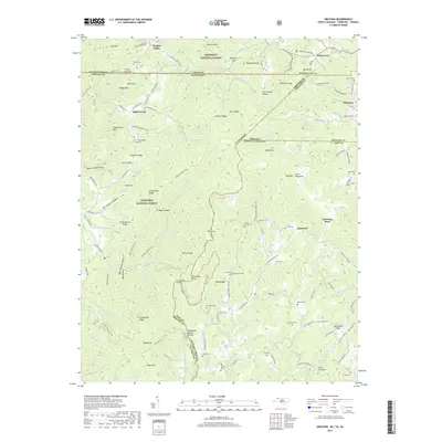
1966 Mouth Of Wilson
Ashe County, NC
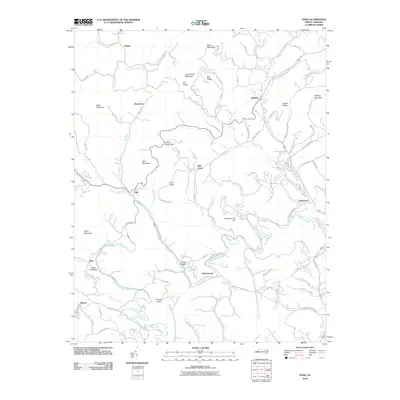
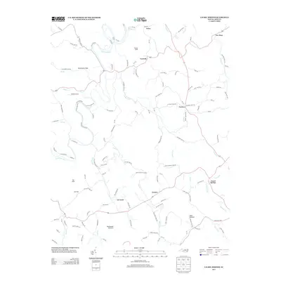
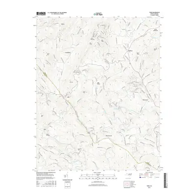
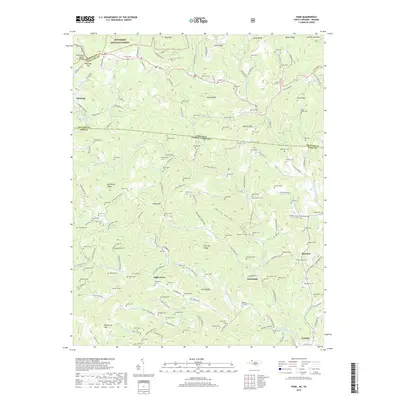
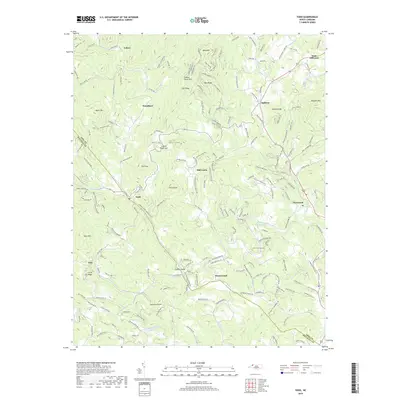
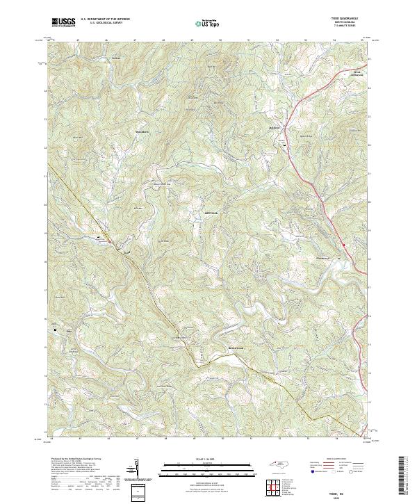
1966 Todd
Ashe County, NC
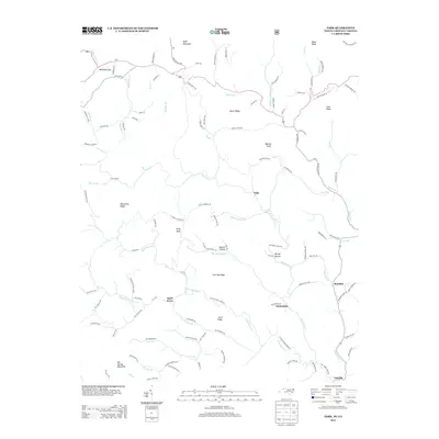
1966 Warrensville
Ashe County, NC
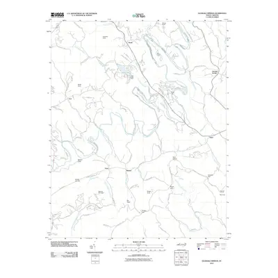
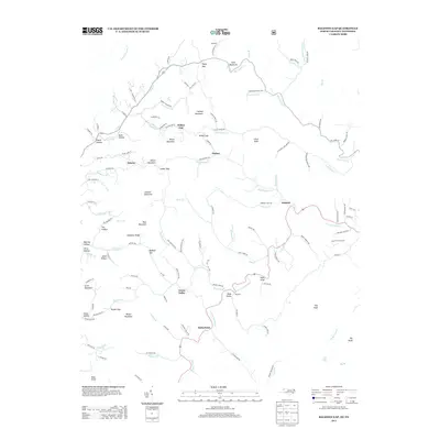
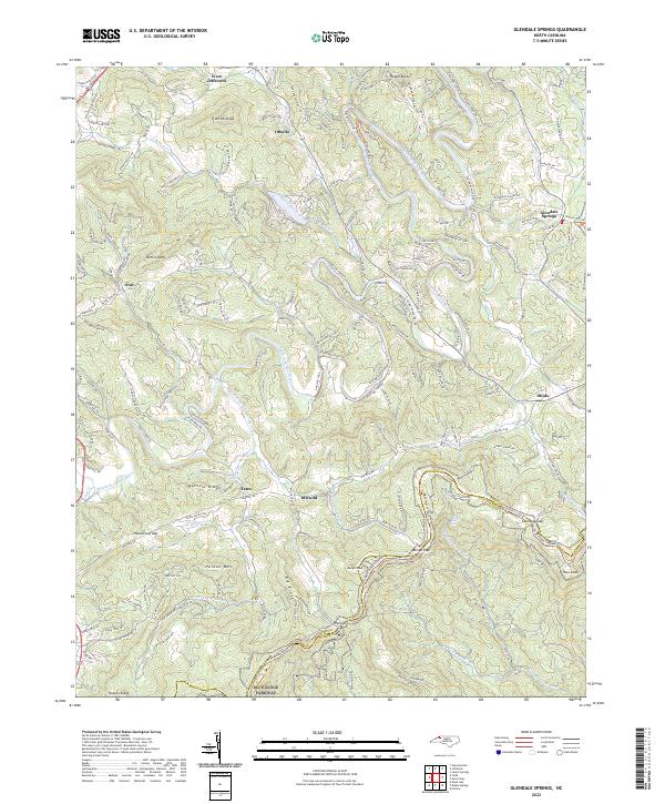
1967 Glendale Springs
Ashe County, NC
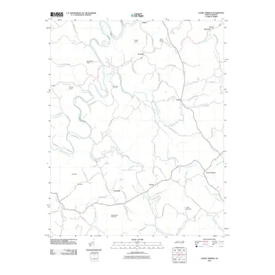
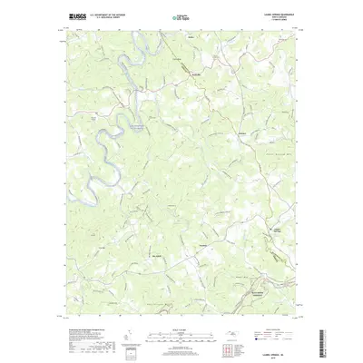
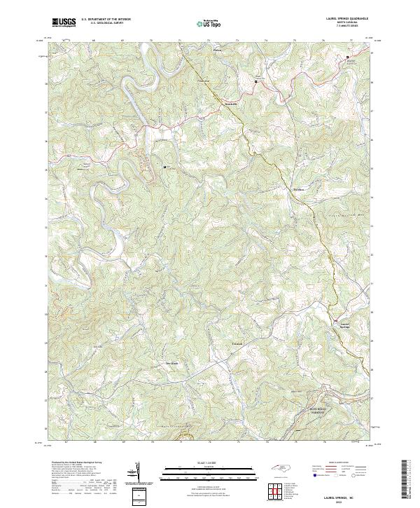
1968 Laurel Springs
Ashe County, NC
1996 Laurel Springs
Ashe County, NC
1998 Todd
Ashe County, NC
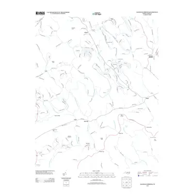
2000 Glendale Springs
Ashe County, NC
2003 Baldwin Gap
Ashe County, NC
2010 Glendale Springs
Ashe County, NC
2010 Laurel Springs
Ashe County, NC
2010 Todd
Ashe County, NC
2010 Warrensville
Ashe County, NC
2011 Baldwin Gap
Ashe County, NC
2011 Grassy Creek
Ashe County, NC
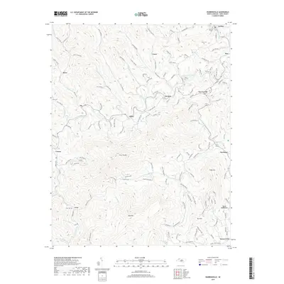
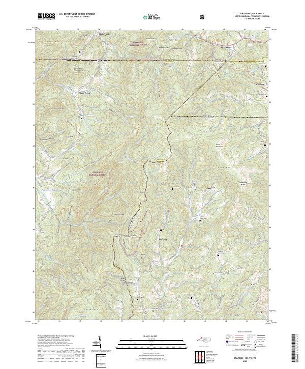
2011 Grayson
Ashe County, NC
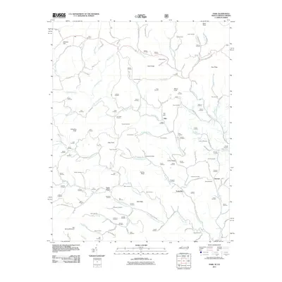
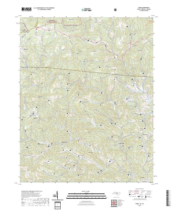
2011 Park
Ashe County, NC
2013 Baldwin Gap
Ashe County, NC
2013 Glendale Springs
Ashe County, NC
2013 Grassy Creek
Ashe County, NC
2013 Grayson
Ashe County, NC
2013 Laurel Springs
Ashe County, NC
2013 Park
Ashe County, NC
2013 Todd
Ashe County, NC
2013 Warrensville
Ashe County, NC
2016 Baldwin Gap
Ashe County, NC
2016 Glendale Springs
Ashe County, NC
2016 Grassy Creek
Ashe County, NC
2016 Grayson
Ashe County, NC
2016 Laurel Springs
Ashe County, NC
2016 Park
Ashe County, NC
2016 Todd
Ashe County, NC
2016 Warrensville
Ashe County, NC
2019 Baldwin Gap
Ashe County, NC
2019 Glendale Springs
Ashe County, NC
2019 Grassy Creek
Ashe County, NC
2019 Grayson
Ashe County, NC
2019 Laurel Springs
Ashe County, NC
2019 Park
Ashe County, NC
2019 Todd
Ashe County, NC
2019 Warrensville
Ashe County, NC
2022 Baldwin Gap
Ashe County, NC
2022 Glendale Springs
Ashe County, NC
2022 Grassy Creek
Ashe County, NC
2022 Grayson
Ashe County, NC
2022 Laurel Springs
Ashe County, NC
2022 Park
Ashe County, NC
2022 Todd
Ashe County, NC
2022 Warrensville
Ashe County, NC