
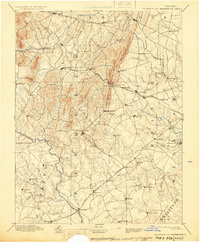
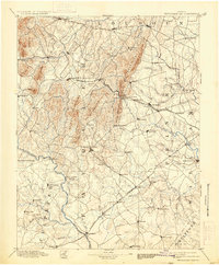
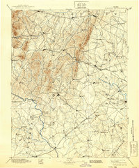
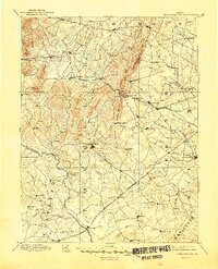
1894 Map of Warrenton
USGS Topo · Published 1894About this map
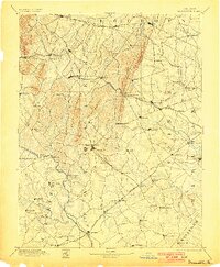
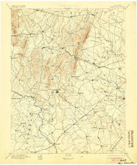
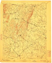
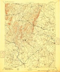
Warrenton serves as the focal point of this Northern Virginia landscape, which is defined by the prominent Bull Run Mountains and the natural passage at Thorofare Gap. The era's transportation network is dominated by the Richmond and Danville R. R. (Virginia Midland Div.), which connects critical hubs like Brentsville and Gainesville. The presence of White Sulphur Springs along the Rappahannock River highlights the region's late-19th-century character as a place of both commerce and retreat.
Find a feature on this map
99 named features on this map. Tap any name to fly to it.
Don’t see what you’re looking for? This feature index may not catch every label — zoom into the map to look around manually.
Map Details
Editions of this 1894 Warrenton Map
9 editions found
Other maps of this area

1884 · Harpers Ferry
USGS Topo · 1:125,000

1887 · Spottsylvania
USGS Topo · 1:125,000

1889 · Fredericksburg
USGS Topo · 1:125,000

1890 · Mt. Vernon
USGS Topo · 1:125,000

1891 · Harpers Ferry
USGS Topo · 1:125,000

1891 · Mt. Vernon
USGS Topo · 1:125,000

1892 · Fredericksburg
USGS Topo · 1:125,000

1892 · Spottsylvania
USGS Topo · 1:125,000

1892 · Gordonsville
USGS Topo · 1:125,000

1893 · Frederick
USGS Topo · 1:125,000