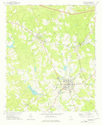
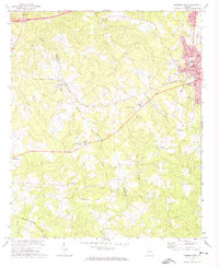
1972 Map of Warrenton
USGS Topo · Published 1975About this map
Warrenton serves as the hub of this East Georgia survey, centered at the intersection of the Central of Georgia and Georgia railroad lines. The landscape is marked by a transition from the agricultural plateaus around Norwood and Camak to the drainage basins of Hart Creek and Middle Creek. Local social history is etched into the terrain through numerous community landmarks, including Walkers Chapel, Norwood Sch, and family-named burial sites like Scruggs Cem and Lazenby Cem.
Find a feature on this map
41 named features on this map. Tap any name to fly to it.
Don’t see what you’re looking for? This feature index may not catch every label — zoom into the map to look around manually.
Map Details
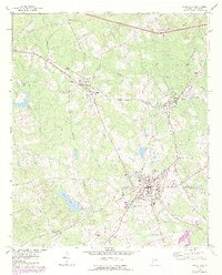
Editions of this 1972 Warrenton Map
2 editions found
Other maps of this area

1906 · Crawfordville
USGS Topo · 1:125,000

1953 · Athens
USGS Topo · 1:250,000

1958 · Athens
USGS Topo · 1:250,000

1959 · Athens
USGS Topo · 1:250,000

1963 · Athens
USGS Topo · 1:250,000

1971 · Beall Springs
USGS Topo · 1:24,000
1972 · Wrightsboro
USGS Topo · 1:24,000
1972 · Bastonville
USGS Topo · 1:24,000
1972 · Thomson West
USGS Topo · 1:24,000

1972 · Sharon
USGS Topo · 1:24,000