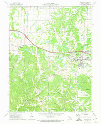
1973 Map of Warrenton
USGS Topo · Published 1974About this map
Warrenton and neighboring Truesdale serve as the primary hubs on this Warren County survey, centered along the east-west corridor of the Norfolk and Western railroad. The transition from town to country is marked by numerous family and community landmarks, including Steinhagen Ch and the Holy Rosary Cem. Further west, the settlement of Pendleton sits near the Pendleton Gore Ridge, where the terrain begins to drop into Turner Hollow.
Find a feature on this map
45 named features on this map. Tap any name to fly to it.
Don’t see what you’re looking for? This feature index may not catch every label — zoom into the map to look around manually.
Map Details
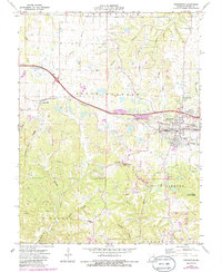
Editions of this 1973 Warrenton Map
2 editions found
Other maps of this area

1890 · Hermann
USGS Topo · 1:125,000

1936 · Hermann
USGS Topo · 1:48,000

1942 · Hermann
USGS Topo · 1:62,500

1942 · New Florence
USGS Topo · 1:62,500

1943 · Warrenton
USGS Topo · 1:62,500

1945 · Hermann
USGS Topo · 1:62,500

1945 · Warrenton
USGS Topo · 1:62,500

1946 · New Florence
USGS Topo · 1:62,500

1948 · Washington
USGS Topo · 1:62,500

1949 · Saint Louis
USGS Topo · 1:250,000