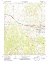
1973 Map of Warrenton
USGS Topo · Published 1986About this map
Warrenton and its adjacent neighbor Truesdale anchor this mid-1970s landscape, serving as a hub for the surrounding agricultural and industrial activities in Warren County. The Norfolk And Western railroad cuts a prominent path through the center, connecting the town centers with smaller outlying settlements like Pendleton and Graves. The map reveals a diversified local economy, ranging from the recreational and conservation lands of the Reifsnider State Forest and Warrenton State Wildlife Area to the numerous Claypits and a Quarry dotting the hillsides.
Find a feature on this map
48 named features on this map. Tap any name to fly to it.
Don’t see what you’re looking for? This feature index may not catch every label — zoom into the map to look around manually.
Map Details
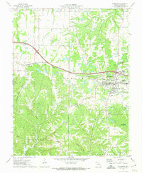
Editions of this 1973 Warrenton Map
2 editions found
Other maps of this area

1890 · Hermann
USGS Topo · 1:125,000

1936 · Hermann
USGS Topo · 1:48,000

1942 · Hermann
USGS Topo · 1:62,500

1942 · New Florence
USGS Topo · 1:62,500

1943 · Warrenton
USGS Topo · 1:62,500

1945 · Hermann
USGS Topo · 1:62,500

1945 · Warrenton
USGS Topo · 1:62,500

1946 · New Florence
USGS Topo · 1:62,500

1948 · Washington
USGS Topo · 1:62,500

1949 · Saint Louis
USGS Topo · 1:250,000