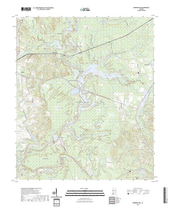
2024 Map of Warrior Dam
USGS Topo · Published 2024About this map
The Black Warrior River dictates the landscape of this region along the border of Greene and Hale counties, winding through a series of dramatic bends and bluffs. The river’s historical importance as a transit corridor is evident in the presence of Finches Ferry and Jennings Ferry, alongside numerous sandbars and shoals such as Milkhouse Bar and Halls Shoals. This modern 2024 survey captures the persistence of traditional land names, from Standing Cypress Point to the expansive Dollarhide Swamp in the southwest corner.
Find a feature on this map
83 named features on this map. Tap any name to fly to it.
Don’t see what you’re looking for? This feature index may not catch every label — zoom into the map to look around manually.
Map Details
Editions of this 2024 Warrior Dam Map
This is the sole edition of this map. No revisions or reprints were ever made.
Other maps of this area

1927 · Eutaw
USGS Topo · 1:48,000

1931 · Eutaw
USGS Topo · 1:62,500

1947 · Mason Bend
USGS Topo · 1:24,000

1947 · Forkland
USGS Topo · 1:24,000

1948 · Mason Bend
USGS Topo · 1:24,000

1949 · Forkland
USGS Topo · 1:24,000

1953 · Montgomery
USGS Topo · 1:250,000

1956 · Montgomery
USGS Topo · 1:250,000

1957 · Montgomery
USGS Topo · 1:250,000
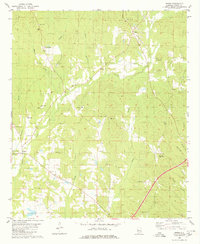
1980 · Union
USGS Topo · 1:24,000