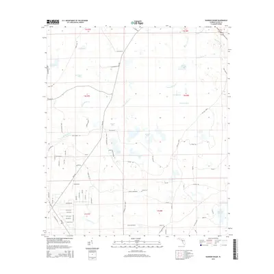
2015 Map of Warrior Swamp
USGS Topo · Published 2015About this map
Warrior Swamp and its complex network of seasonal wetlands dominate this portion of Taylor County, where the low-lying terrain transitions between dense hammocks and open water. The drainage of the area is defined by winding watercourses including Spring Warrior Cr and Clearwater Cr, which feed numerous isolated basins such as Bear Harbor Lake and Rosemary Pond. This 2015 survey reveals a landscape largely shaped by timber management and rural aviation, with Ezell Airport positioned near the convergence of Beach Rd and Robert Ezell Rd. Genealogy researchers can locate several quiet burial grounds tied to the region's early settlers, including Indian Springs Cemetery near Adams Pond, as well as Sandhill Cem and Sealey Cem located further east.
Find a feature on this map
83 named features on this map. Tap any name to fly to it.
Don’t see what you’re looking for? This feature index may not catch every label — zoom into the map to look around manually.
Map Details
Editions of this 2015 Warrior Swamp Map
This is the sole edition of this map. No revisions or reprints were ever made.
Other maps of this area

1954 · Fenholloway
USGS Topo · 1:24,000

1954 · Salem SW
USGS Topo · 1:24,000

1954 · Warrior Swamp
USGS Topo · 1:24,000

1954 · Salem
USGS Topo · 1:24,000

1954 · Hampton Springs
USGS Topo · 1:24,000

1954 · Keaton Beach
USGS Topo · 1:24,000

1954 · Okefenokee Slough
USGS Topo · 1:24,000

1954 · Gainesville
USGS Topo · 1:250,000

1954 · Valdosta
USGS Topo · 1:250,000

1955 · Perry
USGS Topo · 1:24,000