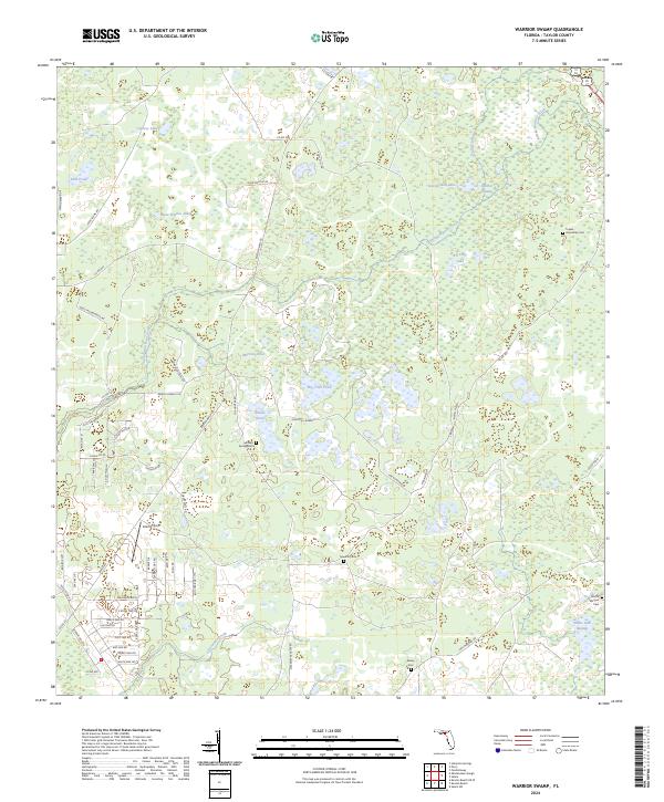
2024 Map of Warrior Swamp
USGS Topo · Published 2024About this map
Warrior Swamp and its dense network of feeder creeks dominate this Taylor County landscape, where the shifting boundaries of wetlands and cypress domes define the local geography. The map reveals a high concentration of small, family-named cemeteries such as Roundtree Cem, Indian Spring Cem, and Worth-Morgan Cem, which are often the only remaining markers of the early rural communities and family homesteads that once dotting these pine flats and swamp margins. Water is the primary constant, with named bodies like Cypress Lake, Big Lilly Lake, and Bear Harbor Lake providing focal points for the surrounding terrain.
Find a feature on this map
74 named features on this map. Tap any name to fly to it.
Don’t see what you’re looking for? This feature index may not catch every label — zoom into the map to look around manually.
Map Details
Editions of this 2024 Warrior Swamp Map
This is the sole edition of this map. No revisions or reprints were ever made.
Other maps of this area

1954 · Fenholloway
USGS Topo · 1:24,000

1954 · Salem SW
USGS Topo · 1:24,000

1954 · Warrior Swamp
USGS Topo · 1:24,000

1954 · Salem
USGS Topo · 1:24,000

1954 · Hampton Springs
USGS Topo · 1:24,000

1954 · Keaton Beach
USGS Topo · 1:24,000

1954 · Okefenokee Slough
USGS Topo · 1:24,000

1954 · Gainesville
USGS Topo · 1:250,000

1954 · Valdosta
USGS Topo · 1:250,000

1955 · Perry
USGS Topo · 1:24,000