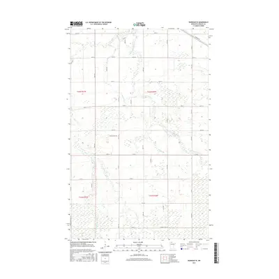
2016 Map of Warroad SE
USGS Topo · Published 2016About this map
Low-lying wetlands and seasonal drainage systems characterize this portion of Roseau County, where the E Br Warroad River and its tributaries define the local hydrology. The landscape is marked by a strict grid of section lines and rural roads, such as Co Rd 12 and Co Rd 2, which traverse a terrain largely consisting of marshy depressions and small rises. The hydrology is particularly intricate in the southern half of the quadrangle, where Clausner Cr and Bulldog Run wind through the township boundaries of T161N and T162N.
Find a feature on this map
38 named features on this map. Tap any name to fly to it.
Don’t see what you’re looking for? This feature index may not catch every label — zoom into the map to look around manually.
Map Details
Editions of this 2016 Warroad SE Map
This is the sole edition of this map. No revisions or reprints were ever made.
Other maps of this area

1918 · Winterroad
USGS Topo · 1:62,500

1918 · Roosevelt
USGS Topo · 1:62,500

1918 · Warroad
USGS Topo · 1:62,500

1943 · Roosevelt
USGS Topo · 1:62,500

1943 · Warroad
USGS Topo · 1:62,500

1954 · Roseau
USGS Topo · 1:250,000

1957 · Roseau
USGS Topo · 1:250,000

1958 · Roseau
USGS Topo · 1:250,000

1967 · Roosevelt NW
USGS Topo · 1:24,000
1967 · Warroad SE
USGS Topo · 1:24,000