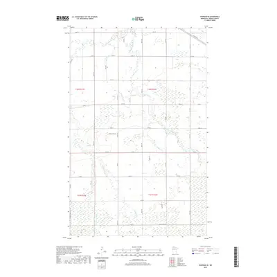
2019 Map of Warroad SE
USGS Topo · Published 2019About this map
Bulldog Run and the E Br Warroad River define the drainage of this low-lying borderland south of Lake of the Woods. The landscape is structured by a rigid section-line road grid, including Co Rd 2 and Co Rd 12, which suggests a history of planned settlement and timber management. In the southwest, the Wobble Grade Forest Rd and Tanghes Forest Rd wind through more densely wooded or marshy terrain, distinct from the agricultural blocks seen elsewhere. These routes, alongside Clausner Cr, provide a clear picture of how water management and forestry dictated the layout of Roseau County. For those researching local land use, the presence of Gravel Quarry Rd highlights the specific extraction industries supporting the infrastructure of these rural townships during the early twenty-first century.
Find a feature on this map
39 named features on this map. Tap any name to fly to it.
Don’t see what you’re looking for? This feature index may not catch every label — zoom into the map to look around manually.
Map Details
Editions of this 2019 Warroad SE Map
This is the sole edition of this map. No revisions or reprints were ever made.
Other maps of this area

1918 · Winterroad
USGS Topo · 1:62,500

1918 · Roosevelt
USGS Topo · 1:62,500

1918 · Warroad
USGS Topo · 1:62,500

1943 · Roosevelt
USGS Topo · 1:62,500

1943 · Warroad
USGS Topo · 1:62,500

1954 · Roseau
USGS Topo · 1:250,000

1957 · Roseau
USGS Topo · 1:250,000

1958 · Roseau
USGS Topo · 1:250,000

1967 · Roosevelt NW
USGS Topo · 1:24,000
1967 · Warroad SE
USGS Topo · 1:24,000