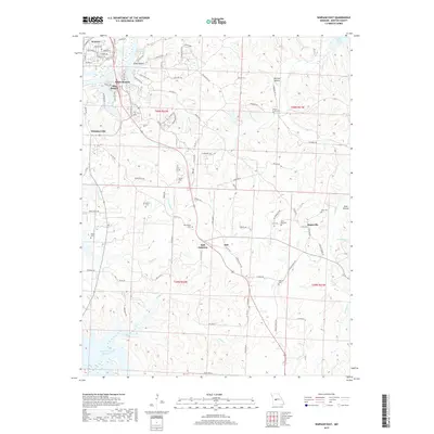
2017 Map of Warsaw East
USGS Topo · Published 2017About this map
The Harry S Truman Reservoir and the Lake of the Ozarks define the aquatic geography of this region in Benton County. The landscape is characterized by a high density of rural burial grounds, including the Whitaker Cem, Smith Cem, and Turkey Creek Cem, which offer significant value for genealogical research in these townships. Small crossroads and clusters like Dell Junction, Majorville, and White Branch serve as local landmarks amidst a complex network of drainage basins. The intricate system of tributaries, such as Whig Cr, Vance Br, and the various forks of Blue Br, illustrates the dissected plateau topography that feeds the larger reservoirs. This survey provides a clear view of the rural road network connecting historic family name sites like Pate Cem and Johnson Cem to the local hub of Warsaw.
Find a feature on this map
106 named features on this map. Tap any name to fly to it.
Don’t see what you’re looking for? This feature index may not catch every label — zoom into the map to look around manually.
Map Details
Editions of this 2017 Warsaw East Map
This is the sole edition of this map. No revisions or reprints were ever made.
Other maps of this area

1887 · Warsaw
USGS Topo · 1:125,000

1894 · Warsaw
USGS Topo · 1:125,000

1935 · Edwards
USGS Topo · 1:24,000

1935 · Dell
USGS Topo · 1:24,000

1936 · Shawnee Bend
USGS Topo · 1:24,000

1936 · Lakeview Heights
USGS Topo · 1:24,000

1936 · Schuyler
USGS Topo · 1:24,000

1945 · Fristoe
USGS Topo · 1:62,500

1947 · Jefferson City
USGS Topo · 1:250,000

1954 · Jefferson City
USGS Topo · 1:250,000