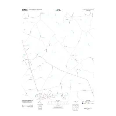
2013 Map of Warsaw North
USGS Topo · Published 2013About this map
The northern reaches of Warsaw anchor this Duplin County landscape, where the coastal plain is defined by an extensive network of blackwater drainages. The vast Goshen Swamp and Bear Swamp dominate the northern and central sections of the sheet, reflecting the wetland-interspersed geography that has shaped local settlement patterns for generations. Historically significant small communities such as Beautancus, Friendship, and Everton are situated along the secondary roads that navigate these watercourses.
Find a feature on this map
103 named features on this map. Tap any name to fly to it.
Don’t see what you’re looking for? This feature index may not catch every label — zoom into the map to look around manually.
Map Details
Editions of this 2013 Warsaw North Map
This is the sole edition of this map. No revisions or reprints were ever made.
Other maps of this area

1943 · Kenansville
USGS Topo · 1:62,500

1948 · Kenansville
USGS Topo · 1:62,500

1953 · Florence
USGS Topo · 1:250,000

1953 · Rocky Mount
USGS Topo · 1:250,000

1953 · Raleigh
USGS Topo · 1:250,000

1953 · Beaufort
USGS Topo · 1:250,000

1954 · Rocky Mount
USGS Topo · 1:250,000

1954 · Florence
USGS Topo · 1:250,000

1954 · Raleigh
USGS Topo · 1:250,000

1954 · Beaufort
USGS Topo · 1:250,000