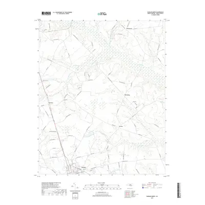
2019 Map of Warsaw North
USGS Topo · Published 2019About this map
Warsaw serves as the southern anchor for this coastal plain landscape, characterized by an intricate network of slow-moving waterways and agricultural tracts. The geography is defined by the expansive Goshen Swamp and the tributaries that feed into it, including Bear Swamp and Whiteoak Br. These wetlands historically dictated the placement of rural settlements and transport routes, with small crossroads communities such as Beautancus, Friendship, and Everton emerging on the higher, better-drained ground between the creeks. Local industry and land use are evident in labels like Case Farm and the Larry McCullen Pond. Further north, the settlement of Bowdens sits near the headwaters of Big Br, illustrating the typical North Carolina pattern of small, dispersed agricultural hubs connected by an evolving road network including Friendship Church Rd and Beautancus Rd.
Find a feature on this map
91 named features on this map. Tap any name to fly to it.
Don’t see what you’re looking for? This feature index may not catch every label — zoom into the map to look around manually.
Map Details
Editions of this 2019 Warsaw North Map
This is the sole edition of this map. No revisions or reprints were ever made.
Other maps of this area

1943 · Kenansville
USGS Topo · 1:62,500

1948 · Kenansville
USGS Topo · 1:62,500

1953 · Florence
USGS Topo · 1:250,000

1953 · Rocky Mount
USGS Topo · 1:250,000

1953 · Raleigh
USGS Topo · 1:250,000

1953 · Beaufort
USGS Topo · 1:250,000

1954 · Rocky Mount
USGS Topo · 1:250,000

1954 · Florence
USGS Topo · 1:250,000

1954 · Raleigh
USGS Topo · 1:250,000

1954 · Beaufort
USGS Topo · 1:250,000