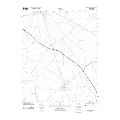
2010 Map of Warsaw South
USGS Topo · Published 2010About this map
Warsaw and Magnolia anchor this Duplin County landscape, joined by a corridor of infrastructure and family-named roads that reflect the agricultural and social ties of the region. The map documents the layout of these small towns at the start of the 21st century, centered on civic hubs like the Warsaw Post Office and Magnolia Post Office. Between the main settlements, the community of Carroll sits along a network of routes such as Carter Best Rd and John William Evans Rd, which crisscross the lowlands of Buckhall Creek and Stewarts Creek.
Find a feature on this map
66 named features on this map. Tap any name to fly to it.
Don’t see what you’re looking for? This feature index may not catch every label — zoom into the map to look around manually.
Map Details
Editions of this 2010 Warsaw South Map
This is the sole edition of this map. No revisions or reprints were ever made.
Other maps of this area

1943 · Kenansville
USGS Topo · 1:62,500

1948 · Kenansville
USGS Topo · 1:62,500

1953 · Florence
USGS Topo · 1:250,000

1953 · Rocky Mount
USGS Topo · 1:250,000

1953 · Raleigh
USGS Topo · 1:250,000

1953 · Beaufort
USGS Topo · 1:250,000

1954 · Rocky Mount
USGS Topo · 1:250,000

1954 · Florence
USGS Topo · 1:250,000

1954 · Raleigh
USGS Topo · 1:250,000

1954 · Beaufort
USGS Topo · 1:250,000