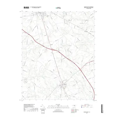
2019 Map of Warsaw South
USGS Topo · Published 2019About this map
Warsaw and Magnolia anchor this 2019 survey of Duplin County, North Carolina, illustrating a landscape defined by traditional street grids and a dense network of country roads. The region's genealogy is preserved in several burial grounds, including Pine Crest Cem and Devotional Gardens Cem. The map reveals a transition from the urban layouts of W College St and S Front St to the sprawling agricultural tracts surrounding Carroll and Kenansville. Waterways like Grove Cr, Marsh Br, and Stewarts Cr wind through the terrain, historically influencing the placement of settlements and transport routes. Modern infrastructure is represented by the Heritage Hill Ests development, while the legacy of early transit remains visible through features like Railroad St in the heart of Warsaw.
Find a feature on this map
111 named features on this map. Tap any name to fly to it.
Don’t see what you’re looking for? This feature index may not catch every label — zoom into the map to look around manually.
Map Details
Editions of this 2019 Warsaw South Map
This is the sole edition of this map. No revisions or reprints were ever made.
Other maps of this area

1943 · Kenansville
USGS Topo · 1:62,500

1948 · Kenansville
USGS Topo · 1:62,500

1953 · Florence
USGS Topo · 1:250,000

1953 · Rocky Mount
USGS Topo · 1:250,000

1953 · Raleigh
USGS Topo · 1:250,000

1953 · Beaufort
USGS Topo · 1:250,000

1954 · Rocky Mount
USGS Topo · 1:250,000

1954 · Florence
USGS Topo · 1:250,000

1954 · Raleigh
USGS Topo · 1:250,000

1954 · Beaufort
USGS Topo · 1:250,000