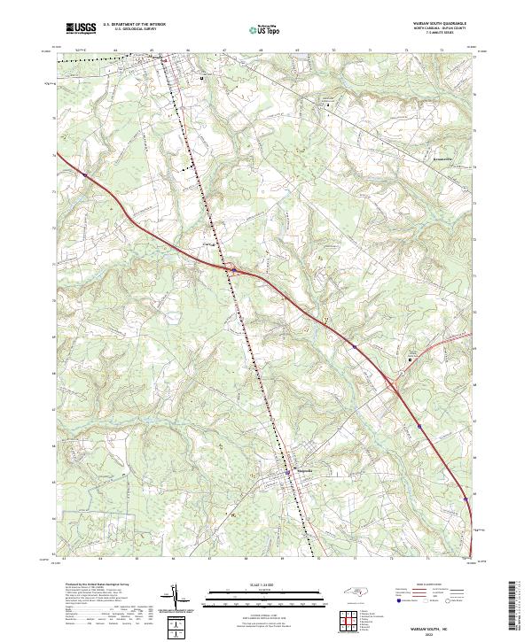
2022 Map of Warsaw South
USGS Topo · Published 2022About this map
Warsaw and Magnolia anchor this part of Duplin County, where the agricultural landscape is defined by the drainage of Maxwell Cr and Stewarts Cr. The map captures the transportation network north of the coastal plain, showing the convergence of rail lines and roadways that have historically supported the region's timber and tobacco heritage. Local history and genealogy are preserved through several burial grounds, including Pine Crest Cem and Devotional Gardens Cem, while smaller settlements like Carroll represent the rural nodes that once formed the backbone of local trade. Evidence of early industry remains in labels like Beasleys Mill Rd, tracing the paths that formerly led to water-powered sites along Millers Cr.
Find a feature on this map
114 named features on this map. Tap any name to fly to it.
Don’t see what you’re looking for? This feature index may not catch every label — zoom into the map to look around manually.
Map Details
Editions of this 2022 Warsaw South Map
This is the sole edition of this map. No revisions or reprints were ever made.
Historical Maps of Magnolia Through Time
12 maps found
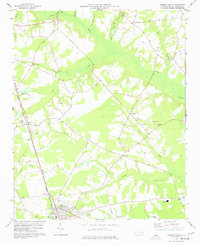
1977 Warsaw North
Duplin County, NC
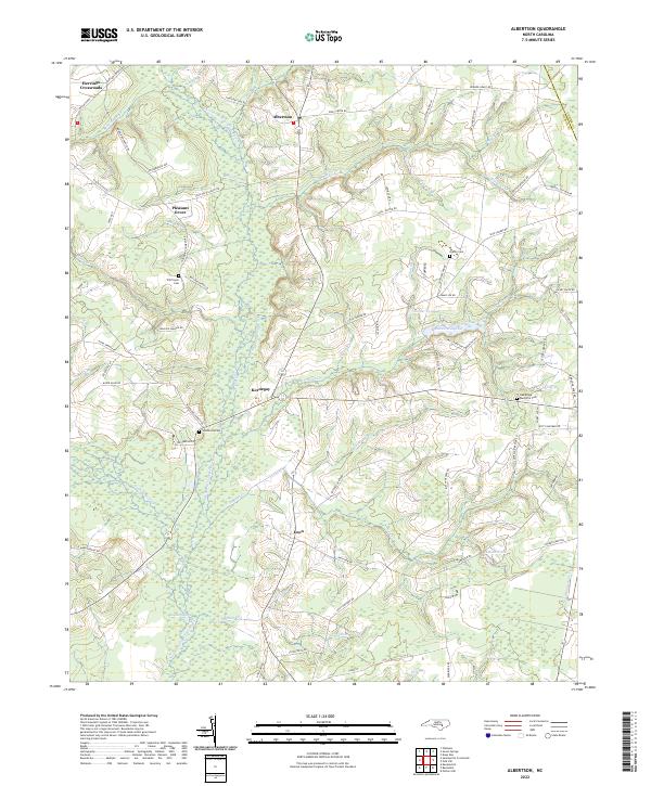
1980 Albertson
Duplin County, NC
1980 Summerlins Crossroads
Duplin County, NC
1981 Charity
Duplin County, NC
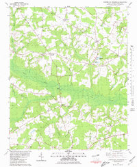
1981 Lyman
Duplin County, NC
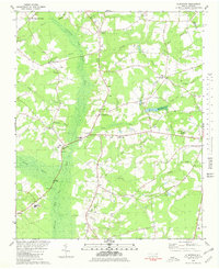
1984 Warsaw South
Duplin County, NC
2022 Albertson
Duplin County, NC
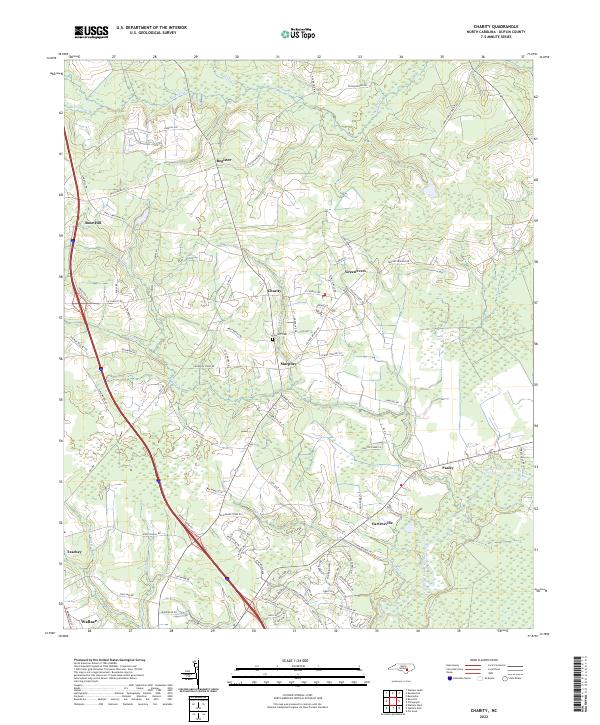
2022 Charity
Duplin County, NC
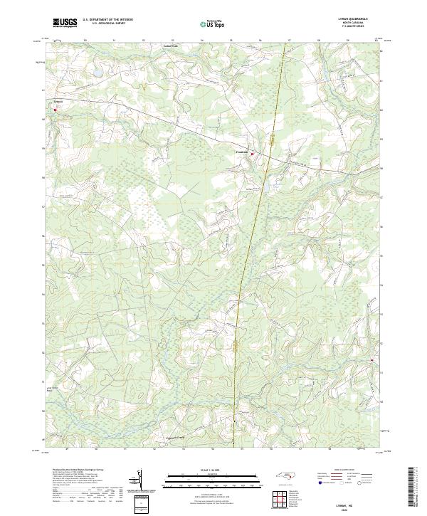
2022 Lyman
Duplin County, NC
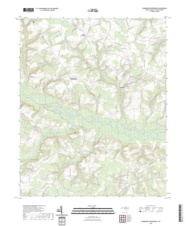
2022 Summerlins Crossroads
Duplin County, NC
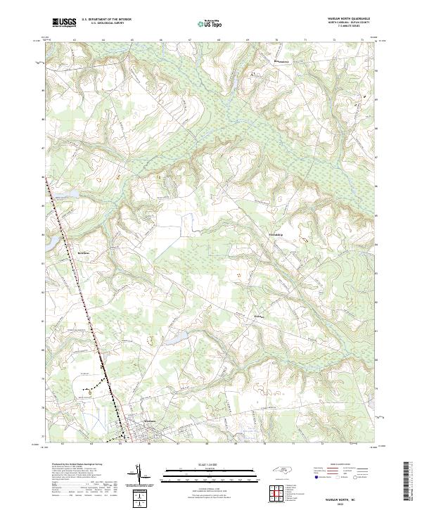
2022 Warsaw North
Duplin County, NC
2022 Warsaw South
Duplin County, NC