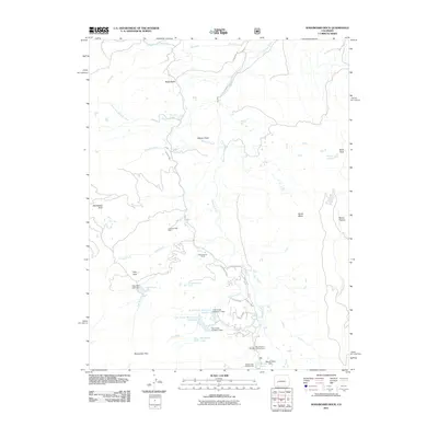
2011 Map of Washboard Rock
USGS Topo · Published 2011About this map
The Cimarron River carves through this high-altitude landscape in Montrose County, where the 2011 topography reveals a network of water management features and ranching history. Human activity centers on the Big Cimarron Ranch and the extraction history marked by the Cimarron Coal Mine. The region is defined by its complex irrigation and water storage systems, including the Cimarron Ditch, Veo Ditch, and several reservoirs such as Fish Creek Reservoir Number 1 and Fish Creek Reservoir Number 2.
Find a feature on this map
40 named features on this map. Tap any name to fly to it.
Don’t see what you’re looking for? This feature index may not catch every label — zoom into the map to look around manually.
Map Details
Editions of this 2011 Washboard Rock Map
This is the sole edition of this map. No revisions or reprints were ever made.
Other maps of this area

1902 · Ouray
USGS Topo · 1:62,500

1903 · Lake City
USGS Topo · 1:62,500

1904 · Ouray
USGS Topo · 1:62,500

1905 · Lake City
USGS Topo · 1:62,500

1908 · Uncompahgre
USGS Topo · 1:125,000

1909 · Montrose
USGS Topo · 1:125,000

1911 · Uncompahgre
USGS Topo · 1:125,000

1911 · Montrose
USGS Topo · 1:125,000

1956 · Curecanti Needle
USGS Topo · 1:24,000

1956 · Cimarron
USGS Topo · 1:24,000