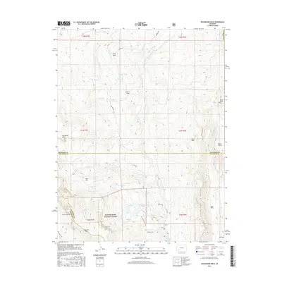
2016 Map of Washboard Rock
USGS Topo · Published 2016About this map
The Uncompahgre National Forest dominates this landscape along the triple border of Montrose, Gunnison, and Ouray counties. This 2016 survey highlights a complex network of high-altitude water management and natural drainage, where the Cimarron River is fed by various tributaries like Burdeck Cr and Veo Cr. Human engineering for water diversion is evident through the Cimarron Ditch, Veo Ditch, and Butte Ditch, which traverse the basin to support surrounding lands. High-country landmarks such as Washboard Rock and Cimarron Ridge provide significant topographic relief, with Monument Pass serving as a notable crossing point in the southern portion of the quadrangle.
Find a feature on this map
48 named features on this map. Tap any name to fly to it.
Don’t see what you’re looking for? This feature index may not catch every label — zoom into the map to look around manually.
Map Details
Editions of this 2016 Washboard Rock Map
This is the sole edition of this map. No revisions or reprints were ever made.
Other maps of this area

1902 · Ouray
USGS Topo · 1:62,500

1903 · Lake City
USGS Topo · 1:62,500

1904 · Ouray
USGS Topo · 1:62,500

1905 · Lake City
USGS Topo · 1:62,500

1908 · Uncompahgre
USGS Topo · 1:125,000

1909 · Montrose
USGS Topo · 1:125,000

1911 · Uncompahgre
USGS Topo · 1:125,000

1911 · Montrose
USGS Topo · 1:125,000

1956 · Curecanti Needle
USGS Topo · 1:24,000

1956 · Cimarron
USGS Topo · 1:24,000