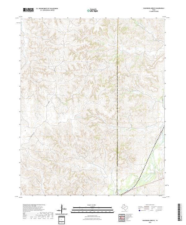
2022 Map of Washburn Arroyo
USGS Topo · Published 2022About this map
Red Deer Creek winds through the southeastern corner of this Texas Panhandle landscape, where the broken terrain of the Canadian River drainage meets the high plains. The boundary between Roberts and Hemphill counties bisects the survey area, a region defined by deeply incised draws and arroyos. This network of seasonal watercourses includes South Simmons Creek and Home Ranch Creek, which have carved intricate contour patterns into the earth. Settlement is sparse, with the map focusing on the infrastructure of ranching and land management. Linear paths like Quarter Horse Road, S Camp Road, and Getty Road provide access to the interior, while the label for Mendota along the eastern edge marks the location of a former rail-side community in the valley of the Red Deer.
Find a feature on this map
9 named features on this map. Tap any name to fly to it.
Don’t see what you’re looking for? This feature index may not catch every label — zoom into the map to look around manually.
Map Details
Editions of this 2022 Washburn Arroyo Map
This is the sole edition of this map. No revisions or reprints were ever made.
Other maps of this area

1954 · Amarillo
USGS Topo · 1:250,000

1958 · Amarillo
USGS Topo · 1:250,000

1967 · Mendota
USGS Topo · 1:24,000

1967 · Young Ranch
USGS Topo · 1:24,000

1967 · Lora
USGS Topo · 1:24,000

1972 · Washburn Arroyo
USGS Topo · 1:24,000

1972 · Horse Creek North
USGS Topo · 1:24,000

1972 · Canadian West
USGS Topo · 1:24,000

1972 · East Dry Creek
USGS Topo · 1:24,000

1972 · Miami
USGS Topo · 1:24,000