
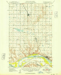
1949 Map of Washburn
USGS Topo · Published 1949About this map
The Missouri River forms the central artery of this landscape, flanked by the historic Lewis and Clark Trail and the Northern Pacific railroad line. At the river's bend, the town of Washburn serves as a focal point, while the South Ferry indicates the vital river crossings of the late 1940s. The northern portion of the quadrangle is defined by the Minneapolis St Paul & Sault Ste Marie line, connecting the grain and coal country around Underwood and Falkirk.
Find a feature on this map
37 named features on this map. Tap any name to fly to it.
Don’t see what you’re looking for? This feature index may not catch every label — zoom into the map to look around manually.
Map Details
Editions of this 1949 Washburn Map
2 editions found
Other maps of this area

1922 · Garrison
USGS Topo · 1:62,500

1929 · Coleharbor
USGS Topo · 1:62,500

1947 · Turtle Lake
USGS Topo · 1:62,500

1948 · Stanton
USGS Topo · 1:62,500

1949 · Stanton
USGS Topo · 1:62,500

1949 · Turtle Creek
USGS Topo · 1:62,500

1950 · Wilton
USGS Topo · 1:62,500

1954 · McClusky
USGS Topo · 1:250,000

1958 · McClusky
USGS Topo · 1:250,000

1961 · Turtle Creek SW
USGS Topo · 1:24,000