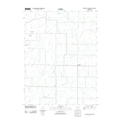
2011 Map of Washington Center
USGS Topo · Published 2011About this map
Washington Center anchors this portion of Harrison County, Missouri, sitting amidst a network of drainage systems that define the rural landscape. The hydrologic complexity of the region is evident in the convergence of branches and forks, including the West Fork Big Muddy Creek and East Fork Big Muddy Creek, which feed into the larger Big Muddy Creek. This 2011 survey illustrates a mature agricultural grid, where county highways and roads like Co HWY-139 and Co RD-180 follow the section lines around established landholdings.
Find a feature on this map
50 named features on this map. Tap any name to fly to it.
Don’t see what you’re looking for? This feature index may not catch every label — zoom into the map to look around manually.
Map Details
Editions of this 2011 Washington Center Map
This is the sole edition of this map. No revisions or reprints were ever made.
Other maps of this area

1940 · Blockton
USGS Topo · 1:62,500

1942 · Grant City
USGS Topo · 1:62,500

1943 · Grant City
USGS Topo · 1:62,500

1943 · Blockton
USGS Topo · 1:62,500

1945 · Mount Ayr
USGS Topo · 1:62,500

1947 · Mount Ayr
USGS Topo · 1:62,500

1948 · Bethany
USGS Topo · 1:62,500

1955 · Nebraska City
USGS Topo · 1:250,000

1957 · Nebraska City
USGS Topo · 1:250,000

1958 · Nebraska City
USGS Topo · 1:250,000