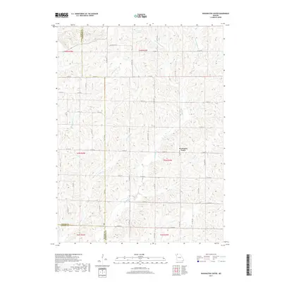
2017 Map of Washington Center
USGS Topo · Published 2017About this map
Washington Center serves as the focal point of this rural Harrison County landscape, where the headwaters of the Big Muddy Creek system carve a complex drainage pattern across the Missouri plains. The map details a strictly agricultural economy, defined by a grid of county roads such as W 180th St and W State Hwy NN that navigate the ridges between numerous waterways. Genealogists will find the Koger Cem positioned near the southern boundary, a quiet anchor for local family histories in this sparsely populated region.
Find a feature on this map
37 named features on this map. Tap any name to fly to it.
Don’t see what you’re looking for? This feature index may not catch every label — zoom into the map to look around manually.
Map Details
Editions of this 2017 Washington Center Map
This is the sole edition of this map. No revisions or reprints were ever made.
Other maps of this area

1940 · Blockton
USGS Topo · 1:62,500

1942 · Grant City
USGS Topo · 1:62,500

1943 · Grant City
USGS Topo · 1:62,500

1943 · Blockton
USGS Topo · 1:62,500

1945 · Mount Ayr
USGS Topo · 1:62,500

1947 · Mount Ayr
USGS Topo · 1:62,500

1948 · Bethany
USGS Topo · 1:62,500

1955 · Nebraska City
USGS Topo · 1:250,000

1957 · Nebraska City
USGS Topo · 1:250,000

1958 · Nebraska City
USGS Topo · 1:250,000