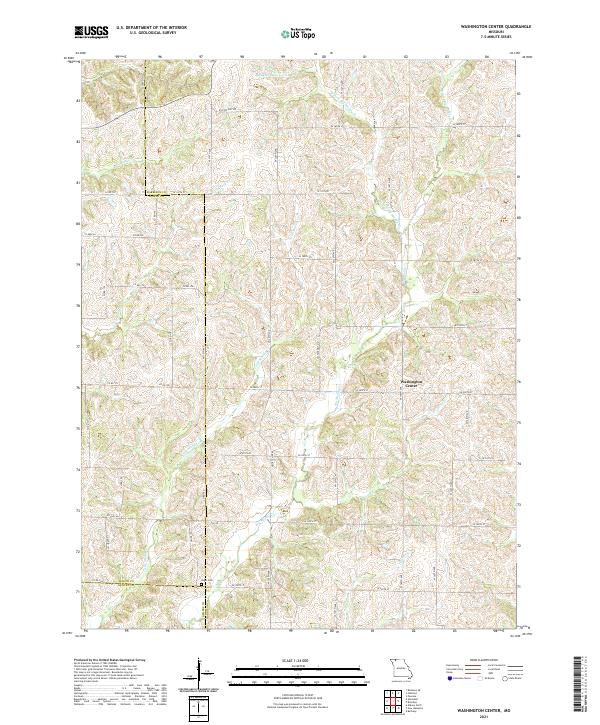
2021 Map of Washington Center
USGS Topo · Published 2021About this map
Washington Center and its surrounding rural landscapes sit at the intersection of Harrison, Worth, and Gentry counties in Northwest Missouri. The terrain is defined by a dense network of tributaries including Big Muddy Cr, which branches into the W Fork Big Muddy Cr and E Fork Big Muddy Cr as it flows south. Genealogists will find the Koger Cem positioned near the southern boundary line between Harrison and Gentry counties, a key site for local family history research.
Find a feature on this map
48 named features on this map. Tap any name to fly to it.
Don’t see what you’re looking for? This feature index may not catch every label — zoom into the map to look around manually.
Map Details
Editions of this 2021 Washington Center Map
This is the sole edition of this map. No revisions or reprints were ever made.
Other maps of this area

1940 · Blockton
USGS Topo · 1:62,500

1942 · Grant City
USGS Topo · 1:62,500

1943 · Grant City
USGS Topo · 1:62,500

1943 · Blockton
USGS Topo · 1:62,500

1945 · Mount Ayr
USGS Topo · 1:62,500

1947 · Mount Ayr
USGS Topo · 1:62,500

1948 · Bethany
USGS Topo · 1:62,500

1955 · Nebraska City
USGS Topo · 1:250,000

1957 · Nebraska City
USGS Topo · 1:250,000

1958 · Nebraska City
USGS Topo · 1:250,000