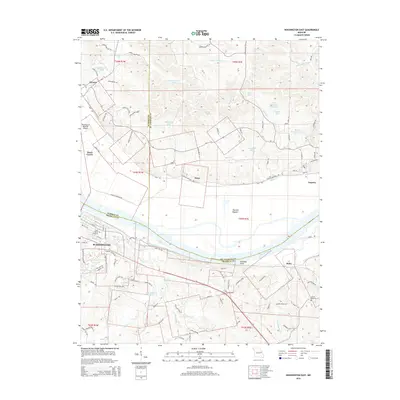
2015 Map of Washington East
USGS Topo · Published 2015About this map
The Missouri River carves a sweeping path through the landscape, separating the flat alluvial expanse of Hancock Bottom from the undulating terrain to the south. Along the northern bank, the Katy Trl follows the river corridor, passing through the historic river towns of Dutzow, Nona, and Augusta. This area is defined by its transition from the river valley to the upland ridges, where family-named landmarks like Vierkerding Lake and Schulthhenrich Lake suggest a long history of local land use. To the south, the city of Washington serves as a primary hub, its residential growth extending toward Saint Peters Cemetery and the Washington Regional Airport. The map also captures several smaller communities such as Boles and Three Creeks, while the John Sprague Reservoir and numerous smaller ponds and lakes like Sadler Lake punctuate the northern hills.
Find a feature on this map
103 named features on this map. Tap any name to fly to it.
Don’t see what you’re looking for? This feature index may not catch every label — zoom into the map to look around manually.
Map Details
Editions of this 2015 Washington East Map
This is the sole edition of this map. No revisions or reprints were ever made.
Other maps of this area

1890 · Hermann
USGS Topo · 1:125,000

1901 · De Soto
USGS Topo · 1:125,000

1903 · O'Fallon
USGS Topo · 1:125,000

1903 · Sullivan
USGS Topo · 1:125,000

1946 · Union
USGS Topo · 1:62,500

1947 · St. Clair
USGS Topo · 1:62,500

1948 · Union
USGS Topo · 1:62,500

1948 · Washington
USGS Topo · 1:62,500

1948 · Augusta
USGS Topo · 1:62,500

1949 · Saint Louis
USGS Topo · 1:250,000