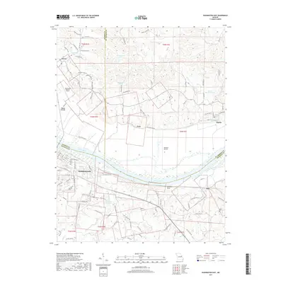
2017 Map of Washington East
USGS Topo · Published 2017About this map
The Missouri River carves a significant bend through this landscape, separating the structured street grid of Washington from the expansive agricultural lowlands of Hancock Bottom. This 2017 survey shows the city's eastern expansion along the southern bank, where residential developments like those on Rabbit Trail Dr and Lake View Dr meet the natural course of Dubois Cr. The map captures a transition from the urban core to rural communities, with the river serveing as a natural border between Franklin, Warren, and St. Charles counties.
Find a feature on this map
110 named features on this map. Tap any name to fly to it.
Don’t see what you’re looking for? This feature index may not catch every label — zoom into the map to look around manually.
Map Details
Editions of this 2017 Washington East Map
This is the sole edition of this map. No revisions or reprints were ever made.
Other maps of this area

1890 · Hermann
USGS Topo · 1:125,000

1901 · De Soto
USGS Topo · 1:125,000

1903 · O'Fallon
USGS Topo · 1:125,000

1903 · Sullivan
USGS Topo · 1:125,000

1946 · Union
USGS Topo · 1:62,500

1947 · St. Clair
USGS Topo · 1:62,500

1948 · Union
USGS Topo · 1:62,500

1948 · Washington
USGS Topo · 1:62,500

1948 · Augusta
USGS Topo · 1:62,500

1949 · Saint Louis
USGS Topo · 1:250,000