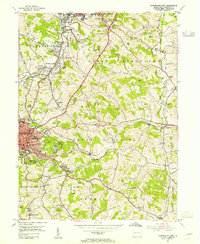
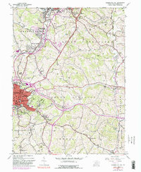
1953 Map of Washington East
USGS Topo · Published 1955About this map
Washington and its eastern suburbs are shown here during a period of significant post-war expansion and industrial activity. The landscape is heavily marked by the coal industry, featuring numerous extraction sites like the Lindley Mine and Mc Lane Mine alongside a network of transport lines including the Baltimore and Ohio RR and the Pennsylvania RR. Education and community life are anchored by Washington and Jefferson College and several local high schools, while the presence of the Hillsview Sanatorium and multiple religious sites such as Hill Church and Beth Israel Cemetery reflect the institutional history of South Strabane.
Find a feature on this map
77 named features on this map. Tap any name to fly to it.
Don’t see what you’re looking for? This feature index may not catch every label — zoom into the map to look around manually.
Map Details
Editions of this 1953 Washington East Map
5 editions found
Other maps of this area

1901 · Amity
USGS Topo · 1:62,500

1904 · Amity
USGS Topo · 1:62,500

1904 · Carnegie
USGS Topo · 1:62,500

1904 · Burgettstown
USGS Topo · 1:62,500

1906 · Burgettstown
USGS Topo · 1:62,500

1906 · Carnegie
USGS Topo · 1:62,500

1907 · Claysville
USGS Topo · 1:62,500

1908 · Carnegie
USGS Topo · 1:62,500

1951 · Canton
USGS Topo · 1:250,000

1953 · Canton
USGS Topo · 1:250,000
Featured Places
- Washington, PA
- South Strabane Township, PA
- Mount Pleasant, South Strabane Township
- McGovern, Chartiers Township
- East Washington, PA