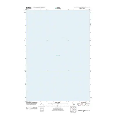
2011 Map of Washington Island NE OE N
USGS Topo · Published 2011About this map
Lake Michigan and Green Bay meet at this open-water junction in Delta County, Michigan. This specific sheet depicts the expanse of water north of Washington Island, where the primary topographic interest lies in the transition between these two massive hydrological features. The U.S. Geological Survey chart documents this maritime zone, providing a precise record of the lake's open waters as they were mapped in the early twenty-first century. For researchers of the Great Lakes, this map delineates the shared boundary of these major bodies of water without the interruption of landmasses or coastal infrastructure.
Find a feature on this map
2 named features on this map. Tap any name to fly to it.
Don’t see what you’re looking for? This feature index may not catch every label — zoom into the map to look around manually.
Map Details
Editions of this 2011 Washington Island NE OE N Map
This is the sole edition of this map. No revisions or reprints were ever made.
Other maps of this area

1932 · Burnt Bluff SW
USGS Topo · 1:31,680

1932 · Burnt Bluff NW
USGS Topo · 1:31,680

1954 · Escanaba
USGS Topo · 1:250,000

1957 · Escanaba
USGS Topo · 1:250,000

1958 · Escanaba
USGS Topo · 1:250,000

1958 · Peninsula Point
USGS Topo · 1:62,500

1958 · Fairport
USGS Topo · 1:62,500

1960 · Washington Island
USGS Topo · 1:62,500

1982 · Washington Island NW
USGS Topo · 1:24,000

1982 · Washington Island NE
USGS Topo · 1:24,000