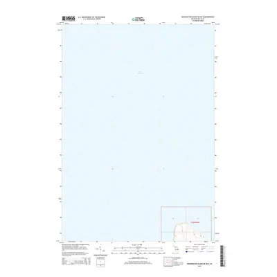
2014 Map of Washington Island NE OE N
USGS Topo · Published 2014About this map
Lake Michigan dominates this coastal survey, which covers a predominantly aquatic area of the northern Great Lakes. Located within t36n r20w, the map highlights the offshore boundary lines and the underwater topography of the region. The limited terrestrial portion at the southern edge focuses on the shoreline of Fairbanks Township, where contour lines indicate the rise of the land away from the lake. The survey provides a clear view of the relationship between the township's land sections and the surrounding waters of Lake Michigan, showing the precise coordinate grid and section divisions that define this maritime environment in the early 21st century.
Find a feature on this map
6 named features on this map. Tap any name to fly to it.
Don’t see what you’re looking for? This feature index may not catch every label — zoom into the map to look around manually.
Map Details
Editions of this 2014 Washington Island NE OE N Map
This is the sole edition of this map. No revisions or reprints were ever made.
Other maps of this area

1932 · Burnt Bluff SW
USGS Topo · 1:31,680

1932 · Burnt Bluff NW
USGS Topo · 1:31,680

1954 · Escanaba
USGS Topo · 1:250,000

1957 · Escanaba
USGS Topo · 1:250,000

1958 · Escanaba
USGS Topo · 1:250,000

1958 · Peninsula Point
USGS Topo · 1:62,500

1958 · Fairport
USGS Topo · 1:62,500

1960 · Washington Island
USGS Topo · 1:62,500

1982 · Washington Island NW
USGS Topo · 1:24,000

1982 · Washington Island NE
USGS Topo · 1:24,000