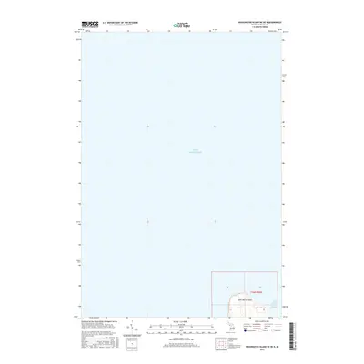
2017 Map of Washington Island NE OE N
USGS Topo · Published 2017About this map
Saint Martin Island emerges in the lower quadrant of this offshore survey, marking a significant waypoint in the waters between the Garden Peninsula and the Door Peninsula. This chart focuses on the maritime environment of Lake Michigan, where the narrow Saint Martin Island Passage provides a critical navigable route for vessels moving between the open lake and Green Bay. The map captures the island's topography in detail, showing its elevation contours and the surrounding shoal waters. As part of the t36n r20w township designation within Delta County, this sparsely documented area highlights the isolated nature of these mid-lake landmasses, which have historically served as vital aids to navigation for the Great Lakes shipping industry.
Find a feature on this map
8 named features on this map. Tap any name to fly to it.
Don’t see what you’re looking for? This feature index may not catch every label — zoom into the map to look around manually.
Map Details
Editions of this 2017 Washington Island NE OE N Map
This is the sole edition of this map. No revisions or reprints were ever made.
Other maps of this area

1932 · Burnt Bluff SW
USGS Topo · 1:31,680

1932 · Burnt Bluff NW
USGS Topo · 1:31,680

1954 · Escanaba
USGS Topo · 1:250,000

1957 · Escanaba
USGS Topo · 1:250,000

1958 · Escanaba
USGS Topo · 1:250,000

1958 · Peninsula Point
USGS Topo · 1:62,500

1958 · Fairport
USGS Topo · 1:62,500

1960 · Washington Island
USGS Topo · 1:62,500

1982 · Washington Island NW
USGS Topo · 1:24,000

1982 · Washington Island NE
USGS Topo · 1:24,000