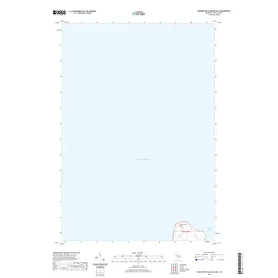
2019 Map of Washington Island NE OE N
USGS Topo · Published 2019About this map
Saint Martin Island stands as a solitary landmass in the northern reaches of Lake Michigan, marking a critical navigation point between the Garden Peninsula and Washington Island. This maritime survey documents the island's coastline and the surrounding Saint Martin Island Passage, a historically significant waterway for vessels traversing the Great Lakes. The map details the isolated topography of the island, including its elevation contours and the remote shoreline that has long served as a landmark for sailors. By focusing on this specific offshore location within the t36n r20w township designation, the map provides a focused view of the island's natural state and its geographical relationship to the open waters and shipping channels of the region.
Find a feature on this map
4 named features on this map. Tap any name to fly to it.
Don’t see what you’re looking for? This feature index may not catch every label — zoom into the map to look around manually.
Map Details
Editions of this 2019 Washington Island NE OE N Map
This is the sole edition of this map. No revisions or reprints were ever made.
Other maps of this area

1932 · Burnt Bluff SW
USGS Topo · 1:31,680

1932 · Burnt Bluff NW
USGS Topo · 1:31,680

1954 · Escanaba
USGS Topo · 1:250,000

1957 · Escanaba
USGS Topo · 1:250,000

1958 · Escanaba
USGS Topo · 1:250,000

1958 · Peninsula Point
USGS Topo · 1:62,500

1958 · Fairport
USGS Topo · 1:62,500

1960 · Washington Island
USGS Topo · 1:62,500

1982 · Washington Island NW
USGS Topo · 1:24,000

1982 · Washington Island NE
USGS Topo · 1:24,000