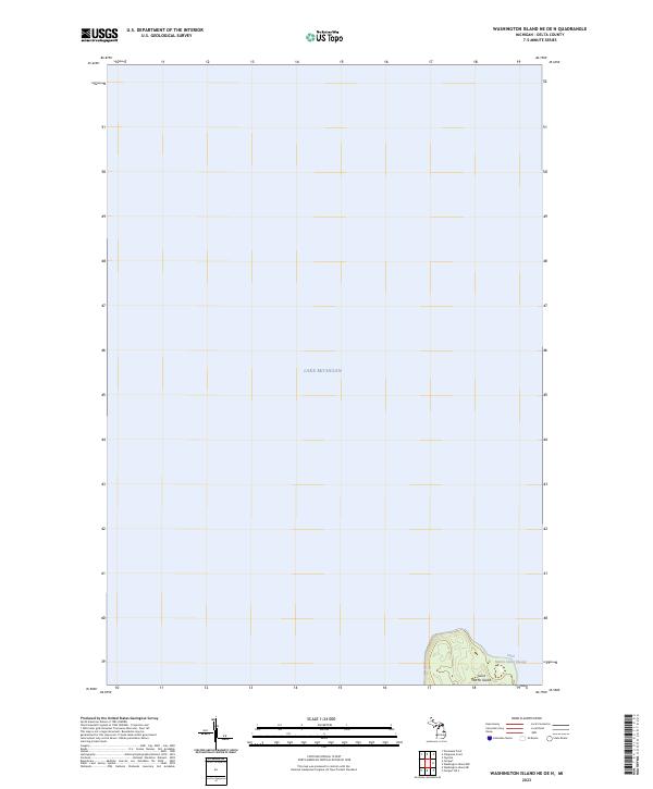
2023 Map of Washington Island NE OE N
USGS Topo · Published 2023About this map
Lake Michigan dominates this maritime survey, illustrating the treacherous waters of northern Green Bay. The map centers on the southernmost tip of Delta County, specifically the northern portion of Saint Martin Island. This isolated landmass serves as a critical navigational waypoint, separated from the surrounding islands by the deep waters of the Saint Martin Island Passage. The topographic detail on the island reveals a landscape defined by sharp elevation changes near its southern shore, while the vast majority of the quadrangle is occupied by the open water that has historically dictated the life and economy of this region. The inclusion of the Public Land Survey System grid, specifically t36n r20w, provides a spatial framework for the remote island territory.
Find a feature on this map
4 named features on this map. Tap any name to fly to it.
Don’t see what you’re looking for? This feature index may not catch every label — zoom into the map to look around manually.
Map Details
Editions of this 2023 Washington Island NE OE N Map
This is the sole edition of this map. No revisions or reprints were ever made.
Other maps of this area

1932 · Burnt Bluff SW
USGS Topo · 1:31,680

1932 · Burnt Bluff NW
USGS Topo · 1:31,680

1954 · Escanaba
USGS Topo · 1:250,000

1957 · Escanaba
USGS Topo · 1:250,000

1958 · Escanaba
USGS Topo · 1:250,000

1958 · Peninsula Point
USGS Topo · 1:62,500

1958 · Fairport
USGS Topo · 1:62,500

1960 · Washington Island
USGS Topo · 1:62,500

1982 · Washington Island NW
USGS Topo · 1:24,000

1982 · Washington Island NE
USGS Topo · 1:24,000