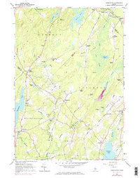
1961 Map of Washington
USGS Topo · Published 1974About this map
The Medomak River and St George River systems define this mid-coast Maine landscape, where the town of Washington sits at a crossroads of early valley settlements. Recorded in the early 1960s with revisions through the 1970s, the map reveals a highly decentralized rural structure marked by numerous family-named junctions such as Lucas Corner, Pease Corner, and Maddocks Corner. The prevalence of small cemeteries, including Pierpont Cem, McDowell Cem, and Fish Cem, offers a detailed spatial record for genealogists tracing ancestral homesteads in the towns of Liberty and Appleton. Educational and community life is anchored by locations like the Boys Camp near Washington Pond and the Prescott Memorial Sch, while the presence of several Gravel Pits along the riverbanks points to the local extractive economy of the era.
Find a feature on this map
78 named features on this map. Tap any name to fly to it.
Don’t see what you’re looking for? This feature index may not catch every label — zoom into the map to look around manually.
Map Details
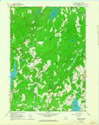
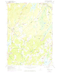
Editions of this 1961 Washington Map
3 editions found
Other maps of this area

1904 · Rockland
USGS Topo · 1:62,500

1906 · Rockland
USGS Topo · 1:62,500

1913 · Waldoboro
USGS Topo · 1:48,000

1915 · Waldoboro
USGS Topo · 1:62,500

1915 · Belfast
USGS Topo · 1:62,500

1916 · Liberty
USGS Topo · 1:62,500

1917 · Belfast
USGS Topo · 1:62,500

1941 · Belfast
USGS Topo · 1:62,500

1941 · Rockland
USGS Topo · 1:62,500

1941 · Waldoboro
USGS Topo · 1:62,500