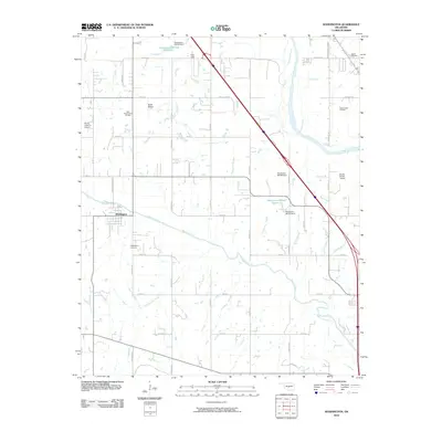
2010 Map of Washington
USGS Topo · Published 2010About this map
The town of Washington serves as the focal point of this 2010 landscape, situated at the intersection of local routes in the heart of Oklahoma's agricultural and energy-producing country. This era reveals a region where traditional land use meets modern infrastructure, highlighted by the East Washington Oil Field and South Noble Oil Field, which underscore the ongoing importance of petroleum extraction to the local economy. The terrain is defined by the winding course of Walnut Creek and Red Blanket Creek, both of which eventually feed toward the broad channel of the Canadian River in the northeast.
Find a feature on this map
44 named features on this map. Tap any name to fly to it.
Don’t see what you’re looking for? This feature index may not catch every label — zoom into the map to look around manually.
Map Details
Editions of this 2010 Washington Map
This is the sole edition of this map. No revisions or reprints were ever made.
Other maps of this area

1893 · Norman
USGS Topo · 1:62,500

1898 · Purcell
USGS Topo · 1:125,000

1898 · Pauls Valley
USGS Topo · 1:125,000

1902 · Pauls Valley
USGS Topo · 1:125,000

1902 · Rush Springs
USGS Topo · 1:125,000

1904 · Chickasha
USGS Topo · 1:125,000

1925 · Norman NO 2
USGS Topo · 1:24,000

1936 · Norman
USGS Topo · 1:62,500

1954 · Oklahoma City
USGS Topo · 1:250,000

1957 · Ardmore
USGS Topo · 1:250,000