Loading...
Loading map...1950 Map of Washington
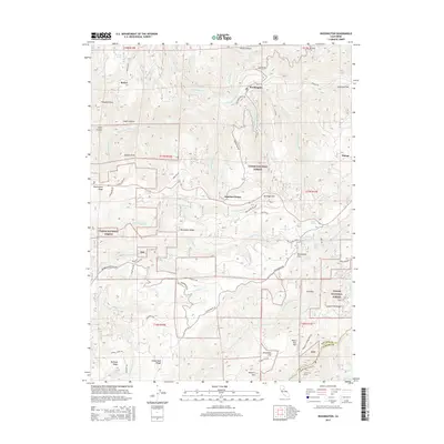
USGS Topo · Published 1980About this map
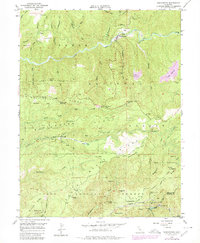
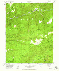
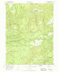
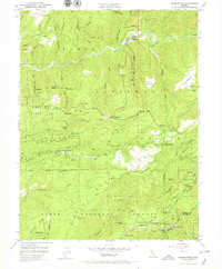
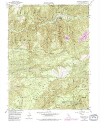
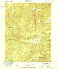
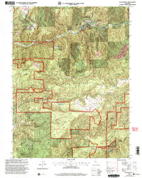
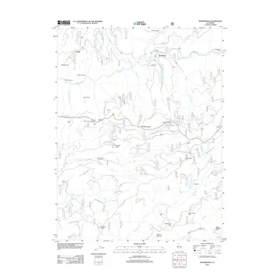
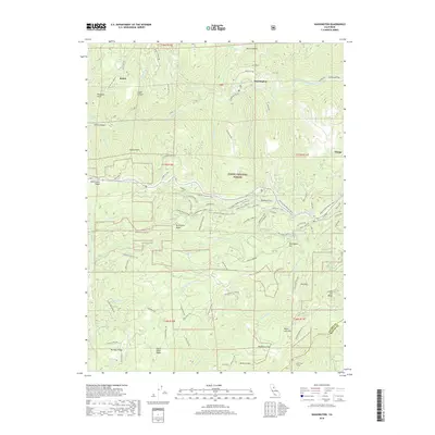
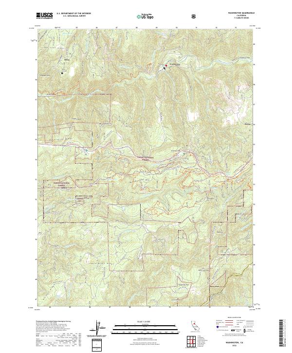
Gold mining operations and deep river canyons define this mid-century landscape in the Tahoe National Forest. The South Fork Yuba River cuts a sharp path through the center of the sheet, where the settlement of Washington sits at the confluence with Washington Creek. Evidence of extensive hydraulic mining is visible at the Alpha Diggings and Omega Diggings, while hard-rock ventures like the Blue Lead Mine and Giant King Mine dot the surrounding ridges.
Find a feature on this map
80 named features on this map. Tap any name to fly to it.
Don’t see what you’re looking for? This feature index may not catch every label — zoom into the map to look around manually.
Map Details
Date Portrayed1950
Date Published1980
PublisherU.S. Geological Survey
Map TypeTopographic
Scale1:24,000
Physical Dimensions22 x 26.8 inches
Editions of this 1950 Washington Map
5 editions found
Historical Maps of Washington Through Time
7 maps found
Featured Locations
Source Details
SourceU.S. Geological Survey
CopyrightPublic Domain