Loading...
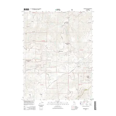
Loading map...1950 Map of Washington
USGS Topo · Published 1983About this map
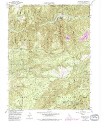
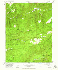
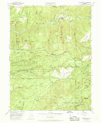
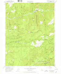
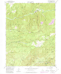
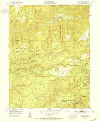
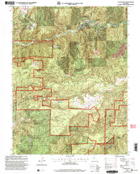
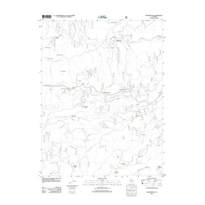
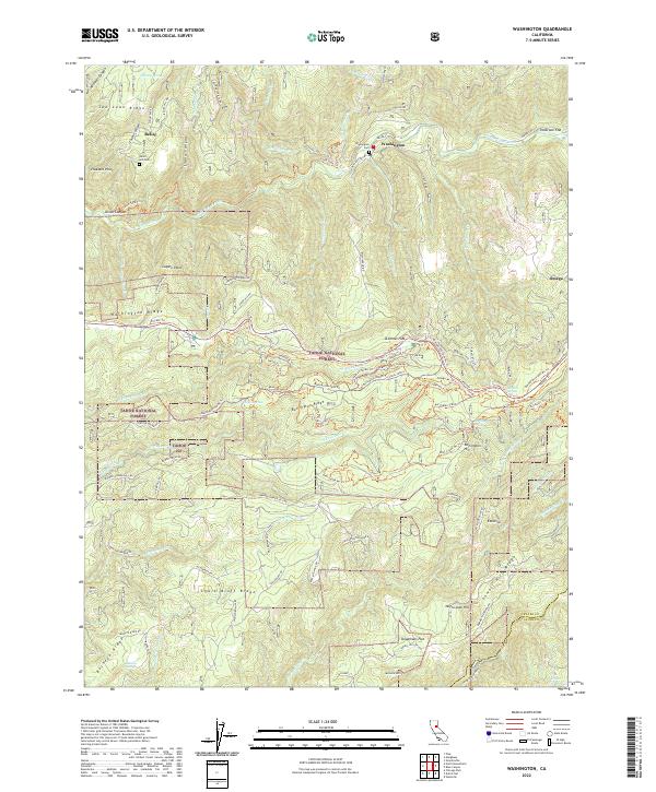
Hydraulic mining scars define this segment of the Sierra Nevada foothills, most notably at the Alpha Diggings and Omega Diggings near the eastern edge. The town of Washington sits deep in the canyon of the South Fork Yuba River, serving as a focal point for the surrounding ridge-top communities and resource extraction sites. The landscape is a network of historical water management and industrial remains, including the Yuba Canal and the Towle Mill Site.
Find a feature on this map
64 named features on this map. Tap any name to fly to it.
Don’t see what you’re looking for? This feature index may not catch every label — zoom into the map to look around manually.
Map Details
Date Portrayed1950
Date Published1983
PublisherU.S. Geological Survey
Map TypeTopographic
Scale1:24,000
Physical Dimensions22 x 26.7 inches
Editions of this 1950 Washington Map
5 editions found
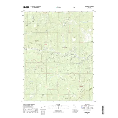
Historical Maps of Washington Through Time
7 maps found
Featured Locations
Source Details
SourceU.S. Geological Survey
CopyrightPublic Domain