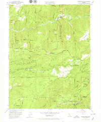
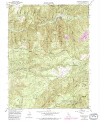
1950 Map of Washington
USGS Topo · Published 1968About this map
The South Yuba River cuts through this portion of the Tahoe National Forest, revealing a landscape heavily shaped by nineteenth-century hydraulic mining and early twentieth-century hydroelectric development. The settlement of Washington sits at the river's edge, while the surrounding ridges are scarred by the extensive Alpha Diggings and Omega Diggings. These massive debris fields, along with the Blue Lead Mine and Zeibright Mine, reflect the intense search for gold-bearing gravels.
Find a feature on this map
92 named features on this map. Tap any name to fly to it.
Don’t see what you’re looking for? This feature index may not catch every label — zoom into the map to look around manually.
Map Details
Editions of this 1950 Washington Map
5 editions found
Other maps of this area

1891 · Colfax
USGS Topo · 1:125,000

1892 · Colfax
USGS Topo · 1:125,000

1894 · Colfax
USGS Topo · 1:125,000

1898 · Colfax
USGS Topo · 1:125,000

1900 · Colfax
USGS Topo · 1:125,000

1902 · Colfax
USGS Topo · 1:125,000

1938 · Colfax
USGS Topo · 1:125,000

1949 · Chicago Park
USGS Topo · 1:24,000
1949 · North Bloomfield
USGS Topo · 1:24,000
1949 · Pike
USGS Topo · 1:24,000