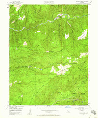
1950 Map of Washington
USGS Topo · Published 1960About this map
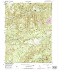
The South Fork Yuba River cuts through the heart of this gold-country landscape, where the legacy of hydraulic mining and hard-rock exploration is evident in the numerous sites along the ridges. The settlement of Washington sits at the river's edge, surrounded by massive mining scars such as Alpha Diggings and Omega Diggings. Evidence of early industrial infrastructure is scattered throughout the Tahoe National Forest, including the Towle Mill Site and the historic Junction House.
Find a feature on this map
60 named features on this map. Tap any name to fly to it.
Don’t see what you’re looking for? This feature index may not catch every label — zoom into the map to look around manually.
Map Details
Editions of this 1950 Washington Map
5 editions found
Other maps of this area

1891 · Colfax
USGS Topo · 1:125,000

1892 · Colfax
USGS Topo · 1:125,000

1894 · Colfax
USGS Topo · 1:125,000

1898 · Colfax
USGS Topo · 1:125,000

1900 · Colfax
USGS Topo · 1:125,000

1902 · Colfax
USGS Topo · 1:125,000

1938 · Colfax
USGS Topo · 1:125,000

1949 · Chicago Park
USGS Topo · 1:24,000
1949 · North Bloomfield
USGS Topo · 1:24,000
1949 · Pike
USGS Topo · 1:24,000