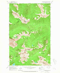
1963 Map of Washington Pass
USGS Topo · Published 1967About this map
Washington Pass and Rainy Pass serve as the primary gateways through this high-altitude landscape where the borders of Okanogan, Skagit, and Chelan counties converge. The 1963 field data reveals a terrain dominated by the meeting of Mt. Baker National Forest and Okanogan National Forest, defined by a network of footpaths rather than roads. The Cascade Crest Trail winds through the southern portion, while the Rainy Pass (Alternate) Trail and Early Winters Trail provide access to remote basins. Notable alpine features such as Golden Horn, Liberty Bell Mtn, and the Early Winters Spires surround glacially carved waters including Blue Lake and the Snowy Lakes. This map documents the area just prior to major highway development, when travel was dictated by historic passes and mountain ridges like Straight Ridge.
Find a feature on this map
37 named features on this map. Tap any name to fly to it.
Don’t see what you’re looking for? This feature index may not catch every label — zoom into the map to look around manually.
Map Details
Editions of this 1963 Washington Pass Map
3 editions found
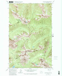
Other maps of this area

1902 · Stehekin
USGS Topo · 1:125,000

1904 · Stehekin
USGS Topo · 1:125,000

1920 · Slate Pass
USGS Topo · 1:125,000

1955 · Concrete
USGS Topo · 1:250,000

1958 · Concrete
USGS Topo · 1:250,000

1962 · Concrete
USGS Topo · 1:250,000

1963 · Washington Pass
USGS Topo · 1:24,000

1963 · Mc Gregor Mtn
USGS Topo · 1:24,000

1963 · Azurite Peak
USGS Topo · 1:24,000

1963 · Slate Peak
USGS Topo · 1:24,000