
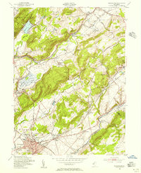
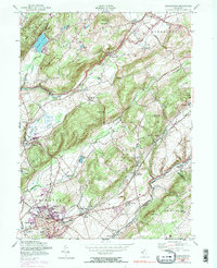
1954 Map of Washington
USGS Topo · Published 1974About this map
Jenny Jump Mountain and its surrounding ridgelines dominate this portion of Warren County, where the industrial legacy of Northwest New Jersey is etched into the landscape. The passage of the Morris Canal—clearly marked as abandoned by the mid-twentieth century—traces a path through Port Colden and Port Murray, evidence of a bypass once vital to the region's transport. In Oxford, an Iron Mine and the local Golf Course sit near the base of Oxford Mountain, illustrating the shift from extraction to recreation.
Find a feature on this map
75 named features on this map. Tap any name to fly to it.
Don’t see what you’re looking for? This feature index may not catch every label — zoom into the map to look around manually.
Map Details
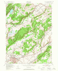
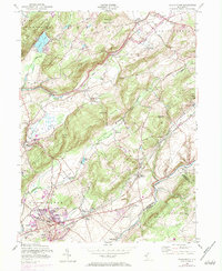
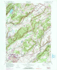
Editions of this 1954 Washington Map
6 editions found
Other maps of this area

1888 · Hackettstown
USGS Topo · 1:62,500

1890 · Easton
USGS Topo · 1:62,500

1890 · High Bridge
USGS Topo · 1:62,500

1891 · Easton
USGS Topo · 1:62,500

1891 · Delaware Water Gap
USGS Topo · 1:62,500

1893 · Delaware Water Gap
USGS Topo · 1:62,500

1894 · Hackettstown
USGS Topo · 1:62,500

1898 · Hackettstown
USGS Topo · 1:62,500

1898 · High Bridge
USGS Topo · 1:62,500

1900 · Raritan
USGS Topo · 1:125,000
Featured Places
- Washington, NJ
- Oxford Township, NJ
- Hope Township, NJ
- Port Murray, Mansfield Township
- Lebanon Township, NJ