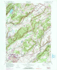
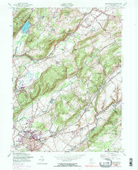
1954 Map of Washington
USGS Topo · Published 1990About this map
The Musconetcong River and Pequest River valleys define this landscape in Warren County, where the infrastructure of New Jersey's industrial and agricultural past is clearly visible. The borough of Washington serves as a major hub, showing a dense grid of residential and commercial development alongside the Erie Lackawanna RR. This mid-century survey captures the region's transition, documenting everything from the established residential blocks near the Elementary Sch and High Sch to the outlying agricultural areas and social institutions like the County Welfare House.
Find a feature on this map
61 named features on this map. Tap any name to fly to it.
Don’t see what you’re looking for? This feature index may not catch every label — zoom into the map to look around manually.
Map Details
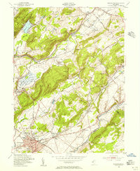
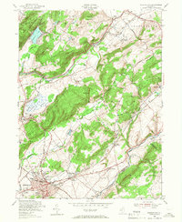
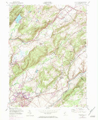
Editions of this 1954 Washington Map
6 editions found

Other maps of this area

1888 · Hackettstown
USGS Topo · 1:62,500

1890 · Easton
USGS Topo · 1:62,500

1890 · High Bridge
USGS Topo · 1:62,500

1891 · Easton
USGS Topo · 1:62,500

1891 · Delaware Water Gap
USGS Topo · 1:62,500

1893 · Delaware Water Gap
USGS Topo · 1:62,500

1894 · Hackettstown
USGS Topo · 1:62,500

1898 · Hackettstown
USGS Topo · 1:62,500

1898 · High Bridge
USGS Topo · 1:62,500

1900 · Raritan
USGS Topo · 1:125,000
Featured Places
- Washington, NJ
- Oxford Township, NJ
- Hope Township, NJ
- Port Murray, Mansfield Township
- Lebanon Township, NJ